|
Getting started A little garden lies nestled deep in the hills of the San Pablo ridge in the East Bay township of Orinda, California, surrounded by dense alpine trees like Sequoia and Coast Redwood as well as other native species like Sycamore, Oak, Adler and Cottonwood. It is this little piece of heaven that is home to one of earth's smallest avian residents, the hummingbird. To the uninformed eye you will not see them. Larger birds like hawks, falcons, crows and seagulls dominate the skies. You can see these bigger species perched high on the topmost branches of the conifers and maple trees as they survey their territory. Smaller birds occupy what I call the intermediate skies, the high branches of the trees and the tall rhododendron and huckleberry bushes, plucking at the seasonal fruits and harassing the flying insects out of the sky. But deep within these very same trees and bushes lives earth's tiniest, and fastest, bird, their shrill high-pitched screech audible to even near-deaf ears as they playfully streak in and out of the undergrowth, sometimes zooming vertically at gravity-defying heady speeds faster than human eyes can track them, and the next instant, changing course against double-digit g-forces to fly away horizontally, all in a matter of a few seconds. I had no idea they lived here in any numbers but I had seen them in and around the Bay Area previously so I hoped some might be living in these hills. My 11 year old daughter and I went out and bought a feeder, the only design we found at the local store, and a small packet of colored sugar crystals that said on the packet was a hummingbird's preferred "nectar" when mixed with water. The standard process to create the nectar is one cup sugar and four parts water; easy! My able assistant and I did as directed and filled the feeder to about one third full and hoped that was enough for these littlest of birds. I hadn't really seen one up close so I had no idea how much they would consume. Hanging the feeder was easy. Just hammered in a nail on the wooden roof hanging and hung it. I hoped that would work. All this effort without seeing a single little bird around me. It was like they were the invisible pixies of the forest. The Europeans first thought they were something between an insect and a bird, they were that tiny. The native Taino Indians considered them to be a sacred pollinator, whose mission it was to bring abundance to life. Since hummingbirds are only found in the Americas they are totally absent from European and Asian written texts or myths so no mention of them in folklore aside from those found in the Americas. This bird just does not exist in any other continent. The camera and the glass I have a 10 year old Zuiko 75-300 mm four-thirds zoom lens(150-600 35mm equivalent) fitted with an adaptor to my Olympus OM-D E-M5 lens. I thought this might do the trick for now. As I stood outside on the first day of hanging up the feeder, the minutes ticked by. It was a cold morning in the Bay Area but the sun was out so conditions for my aging lens were decent. I sat and waited. 30 minutes had ticked by and I was beginning to wonder whether any hummingbird lived in the area at all. But I also wondered how they would be able to sense that I had kept out the nectar for them. The valley in front of the garden was big with many houses and often dense shrubs and many large trees. It might be like finding a needle in a haystack for these little things. But I also felt good that I had hung the feeder in the right place, easily viewable for large distances. I was keeping my eye on the feeder one minute and the very next I suddenly saw not one, but three little "moths" hovering around. My hummingbirds had arrived! I immediately faced my next challenge. My family thought I had gone nuts and my Zuiko lens thought I had asked it to photograph an elephant, it was that slow! The aging lens just could not track the birds! My daughter just could not understand what the fuss was all about! Daughter I could handle (funny how a glare always works!) but glaring at my lens had none of the desired effect! By the time the autofocus managed to lock on precious seconds had passed and the hummingbirds were history! But I was excited! If three birds could find the feeder within 30 minutes of my hanging it up then more would surely find their way. I was not disappointed! Within 20 minutes one more arrived and hovered around the feeder. They had yet to drink anything but they were possibly checking out this surprising new watering hole. I tried a few shots but they were blurry and dark. It was evening and the sun was setting but these were test shots and I was happy. I downloaded the images into my laptop and marveled at their beauty. The images were crappy in the low light but I edited them into black and white pics and I was confident the family would be thrilled. They were not! I tried to explain that these were the first few shots and it was remarkable that I had actually managed to click these amazing birds since they were zipping around so fast. That, it was remarkable that my old lens could even view them. The family wouldn't budge! They did not like the artsy rubbish I had created. They wanted to see the birds in color!! Really?? The letdown, then euphoria When I looked at the images I knew that my lowest ISO of 5.6 at the highest zoom of 600mm and high shutter speed of 1/4000 sec just did not give me enough light. Shoots in the evening just would not work so I had to take shots in the morning. But evening is when all birds are most active and so I would have to lose this element. The low light was also making it difficult for my lens to focus and lock on fast enough on the birds. They were so small (just a bit larger than a large moth) that the adaptor on my camera was drastically slowing me down making it almost impossible to take shots of any quality. The next morning was bright and sunny and since the garden faced east the spring sun brightly lit up the feeder. I was thrilled and so waited, camera in hand as the minutes ticked by. No hummingbirds came and it was disappointing. I later realized that hummingbirds feed on nectar later in the morning, possibly when the day heats up and they need to increase their liquid intake. Then I hit jackpot! At about 10:30 AM, after a 2 hour wait, the first batch flew in. Through my tiny digital eyepiece (the OM-D is mirrorless so the viewfinder is digital) I saw that the first hummingbird had a reddish-orange color around the neck. Details could not be made out but the light was perfect on the little bird and I clicked away. This lot flew away after about 5 seconds of feeding frenzy. Within 15 minutes another one flew in. Its necked looked magenta in color and as it fed a third one flew in and hovered. I could clearly make out its body as it shone green and grey in the sun. The colors were incredible and I kept clicking away. I later read that the orange/red hummingbird was an Allen's Hummingbird and the one with the magenta neck was an Anna's Hummingbird. It was exciting to see two different species living within such proximity and I knew now my location for the feeder was perfect. The hummingbirds obviously had a fantastic sense of smell and sight that helped them discover my feeder so quickly! Working through technology I identified a few problems that persisted. I was still too far away from the feeder and even with my 600mm zoom the birds were too small so I had to crop the images to get them larger. Also, at 1/4000th of a second the ISO had to be set too high at 2000 to get more light in which resulted in high noise. Still, I was thrilled with my results and the family gave better reviews this time. Artsy-fartsy BW images just don't work with them! I decided the next weekend to try and edge a bit closer if the birds would permit. This would allow me to get larger images of the birds and possibly lower the ISO to about 800. I had to maintain the same shutter speed of 1/4000s to get a freeze on the wings so still faced the same challenges with speed and light. Luck did not favor me. The birds, after their initial excitement with the feeder decided that they could not allow a human being edge that close to them. They disappeared and the orange-tinged Allen's Hummingbird never came back till date. I read that hummingbirds are very territorial and perhaps the family of Annas chased away the Allen's. Or perhaps it might be because I changed the sugar water from the red-dyed to natural cane after reading that the red dye potentially harms the little things. The hummingbirds obviously pooh-poohed the environmentalists and flew away. Patience pays Waiting for minutes and hours in the sun gave me an opportunity to look at the other creatures in this little garden in the hills. The busy little Western Fence Lizard family aggressively fed on insects in the morning and the male actually had an impressive turquoise blue plumage that could only be seen up close. I got a good shot of them mating but the female did not appear too thrilled with the ritual. The Western Bluebird, noisily attacking the huckleberry bush in the fall, were now returning in small numbers. The Bluejay loved the hanging bird feeder and would give it a flying kick to dislodge the seeds and would snap them up from the grass as these fell. The bird bath however lay empty as perhaps it was still too cold for a dip. I waited patiently every weekend and it was always a thrill each time a hummingbird flew in. They would suddenly appear out of nowhere and I was ready for them, camera on and focused. I managed to get closer till I was about 10 feet away and that gave me better visuals. Each 5 second visit resulted in about 20-30 shots out of which 95% were blurry and one or two came out great. Those two made the wait all worth it for me. As I parsed through the images their vivid detail was mesmerizing! I realized through this that a third species had come visiting, the Black-Chinned Hummingbird. One could easily mistake the female from the female Anna's Hummingbird as they had similar dirty grey and green plumage with the immatures having specks on their body. "Lemon" became a frequent visitor and her name was given by my daughter. I initially called her "Yellowstone" but my daughter said that Lemon was a better more girly name! She is most likely a female Anna's Hummingbird and her tell-tale yellow mark on the beak clearly identifies her every time she visits. She was also one of the early visitors when I first hung the feeder up so its heartening to see she has appreciated the quality of the feed I've been dishing out every week. No better judge of quality than a returning customer! Beyond Limits By now I was getting frustrated by the image quality. The shutter speed was perfect but the images were too grainy so that meant I had to reduce ISO further from 1200 to possibly below 800. That meant I had to get even closer as my aperture at 5.6 was at the lowest point possible with my zoom lens. That, or I had to buy a new (and much more expensive) lens. More on that purchase later. I decided that I could risk getting to within 10 feet of the feeder while the hummingbirds were docked and feeding. This would mean that they would be concentrating on the nectar and I could use this opportunity to sneak in closer. I would get no more than 2-3 seconds to do this as the feeding frenzy seldom lasts more than 8-10 seconds. If the sugar water I had prepared was good then the birds would feed longer. If it was not as good, or spoiling in the heat (which happens after five days), then the feeding frenzy would last 3-4 seconds. That was my observation. That week, my preparation was obviously good as the visiting black-chinned hummingbirds appeared more playful than usual and I had some great shots capturing them. I was able to do this with the ISO at 800 and even went down to 500 when the sun shone brightly on the feeder. As a result, I got some great shots and have proudly displayed them below. A new purchase...and happiness I knew that I had reached the limit of my lens and would either continue taking similar shots forever or look for something better. A visit to a camera shop in Berkeley resulted in my dishing out $1500 (after taxes) for a truly remarkable piece of glass, the Zuiko micro four-thirds 70-150 F2.8 fixed aperture lens (140-300 mm 35 mm equivalent). I've been waiting for this for over 4 years and after using my 150-600 lens for close to 10 years, the time had come. I knew this lens would be a game changer for me at my skill level and I was ready for it. But the ever unpredictable hummingbirds were determined to test my patience. The first weekend after the purchase, I sat outdoors for 2 hours and barely managed to get one chance at shooting these amazing pixies! I had to wait another week before I got another chance and the following Saturday, the garden was visited by a near-adult Anna's Hummingbird with gorgeous magenta plumage on full display! I also managed, for the first time, to get a few shots in the fading evening light of a hummingbird feeding from flowers in the garden. The new lens worked beautifully well and I managed to get some 200 shots with 10-12 pics I could be satisfied with. It was a great start! For the geeky-minded, the shots above maintained shutter speed at 1/4000 and max zoom at 150mm (300mm 35mm equivalent) but the true differentiator was the aperture at F2.8. Since the zoom wasn't as good as my 600mm on the older lens I still had to get closer and crop it small, but the sharpness and speed of the Zuiko lens is unbeatable. Its really silent too and that allowed me to get close enough. The only marginal downside is that its heavier than my 75-300 lens but still light enough to hold it for extended time without the need for a tripod. You can't beat that, as similar lens from Nikon and Canon are the size of a minibus!
0 Comments
I woke up 4 hours into the flight. It wasn’t because the coach class seat felt cramped but just out of sheer habit. Flying for 4 hours over the Atlantic usually means we are two thirds of the way to Europe which means its time to catch a quick movie and some brekky before landing in a European city, my usual being London Heathrow. However, something felt different and I quickly shrugged my sleep away and flicked on my seat monitor. I was flying over Alaska, just south of the Arctic Circle and I sat up straight; I had to peer out of the window to see a sight I had never seen before! I was on a moderately new Korean Airlines Boeing 777-300 flight from Chicago to Seoul, change aircraft there and then on to Cebu in the Philippines. The monitor displayed my flight status as altitude-34,000 ft, flight time remaining, 9 hours. Nine Hours!!!! That too after having flown for four and half hours already! This was going to be a long one! The window shades were down and the aircraft was dark so I wobbled my way to the rear where the tiny porthole on the door would allow me to see what I craved for. I looked out and the polar sun was shining bright high in the sky. The Alaskan landscape below, just north of the Alaska Range and Denali, was rugged topography with snow-capped mountains, glaciers and deep blue glacial lakes. I was hoping for a polar flight as that was the route taken by the same KAL flight the previous day, something I learnt on Flightradar 24, but, just then, the aircraft made a gentle bank to port and I quickly realised today’s route would be more southerly, over the Bering Sea. I was still thrilled though. This was my first westbound flight over the Pacific to East Asia and after having flown over 300,000 miles over the last 4 years between India and the US through Europe, the novelty factor of flying this route was high. It looked like, however, that I was the only person on the plane who was really excited about the travel as everyone slept soundly or watched movies, some English, most Korean. The boarding itself was a strange feeling. The flight was full of Koreans (naturally) and it seemed I was the only non-Korean or non-American passenger on the flight. I did see a couple of Filipino passengers, but that was it. I’ve been used to flying the trans-European and trans-Atlantic routes where flights are usually very multi-racial and multi-ethnic so there is a sense of familiarity in the environment. But this felt different initially. The announcements were all in Korean and then followed by heavily accented English. But, the alien environment soon began to feel more comfortable as I settled back to explore my 14-hour Korean experience. And I was floored! I’ve flown ultra long-haul flights between North America and India, especially on United, Continental and American Airlines where the crew were on duty for the 3-4 hours into the flight and then disappeared for 6-7 hours to rest, leaving passengers to help themselves to soda, water and OJ. But on this flight I saw the crew working continuously. We were offered snacks and refreshments every 2-3 hours and they worked through in the darkness of the flight, noiselessly moving through the aisles, cheerfully helping passengers, politely excusing themselves if they disturbed anybody. It was an amazing and refreshing change! The food was more Korean-centric which was not really a bad thing. Fried rice and pork with vegetables was easily digested and the bread was fine, although the menu was dessert-light. That is probably my only complaint about the cuisine, as fruit does not replace pudding as a dessert. Not on my table anyway! I had my first taste of Bibimbap, the unique and delightful Korean dish, complete with an instruction card on how to mix the food in steps. Having done it, it felt all too familiar to me as there is something very familiar about mixing meat and vegetables and sauce with rice to an Indian, especially a Bengali like I am! I was glued to the exit door window at the tail of the aircraft as the rugged landscape slowly gave way to a more flat and featureless Tundra and I saw a green land for the first time, spotted with numerous arctic lakes. The flight path showed me that we would fly over the Bering Sea and then turn south over Siberia, Kamchatka, North Korea and then onto Seoul-Incheon. I guess the Captain had other ideas and I could not help but think about the Korean Airlines flight KAL 007 that was shot down by the Soviets over Kamchatka for, as the Soviets maintained, straying into restricted airspace. My flight was KAL 038 and times today are much changed, so I knew we were safe, but moments in history do creep back into the mind. After all I have flown Virgin Atlantic over Ukraine just a couple of weeks before the Malaysian Airlines flight was shot down, so fate is a strange bedfellow! Seven hours into the flight and having left the Bering Sea behind us, as I followed the flight path, we seemed to drift more south than east, flying parallel to Kamchatka and east of the volcanic Kuril islands and Sakhalin, beyond. I could see the gorgeous island chain that forms the archipelago north of Japan and forms a disputed region between Japan and Russia. The beautiful volcanic spires rose above the morning haze of summer like a protective barrier between the warm waters of the Pacific and the much colder waters of the Sea of Okhotsk and the Kuril basin adjoining Sakhalin and Siberia. I remembered my Geography lesson on the Kuroshio warm current that flows northwards from the region around the Philippines Sea and the Oyashio or Kuril cold water currents that originates in the region I was currently flying over. The intersection of both currents around Japan is why it is one of the worlds leading fishing regions. Geography lesson aside, the flight was relatively more uneventful now as I realized we would not be flying over North Korea and, instead, fly south parallel to Japan and then westwards, cutting over the island of Honshu towards South Korea. It was brunch time on the flight and the flight attendant asked me, most politely I have to say, to return to my seat and wait for breakfast to be served. I was delighted to see more rice on the menu and opted for the Korean breakfast with OJ. It left me feeling hungry for more as I managed to finish way it too quickly! There were still 3 hours left in the flight so I settled back in my seat and decided to spend some time in the company of Mr. Leonardo DiCaprio in The Revenant.
I was drawn to Binsar for many years for one purpose only….. to view the spectacular side-on twin-peaked profile of Mt. Nanda Devi in all her glory. Nowhere in the world is a peak this unique in shape, or this formidable to approach! The shape, contours and fantastic topography make this one of the last great adventures in mountaineering and trekking. The mountain was first climbed by H.W.Tilman and Noel Odell in 1936 after earlier attempts by T.G.Longstaff (in 1926, 1927) and Hugh Ruttledge in 1932 failed. It was for long considered a tougher adventure than reaching the South Pole such was the difficulty of the terrain and access! The sanctuary is impregnable. And when I say “Impregnable”, I mean a world so inaccessible that there is only one extremely narrow harrowing path that leads into the 630.3 square kilometer sanctuary, with a sheer and slippery rock face on one side and a thousand foot drop into a treacherous Rishi Ganga gorge on the other, at the bottom of which is an icy, raging river, yes, the dreaded Rishi Ganga river, whose waters are so cold that if the rocks don’t crush you first, hypothermia will certainly kill you in minutes! Just in case the gorge and the river are not enough, the sanctuary is surrounded by, not one, but two parallel layers of mountain ranges on the north, south and east side, each of which are at an average height of 21,000 ft. The outer wall of the sanctuary comprise of some of the highest peaks in the middle Himalayas such as Trishul (23,360 ft), Nanda Ghunti (19,893 ft), Nanda Kot (22,530 ft), Mriguthani, Maiktoli (22,320 ft) and several others. Each of these peaks are insurmountable for the expert trekker, so in the event that an explorer-mountaineer is actually able to cross the first ring of peaks, he or she will be confronted by another layer of equally high peaks! The second inner range of mountains comprise of Changabang (22,520 ft.), Dunagiri (23,184 ft.), Kalanka (22,520 ft.), Bethartoli, Hardeol and several others, each over 21,000 ft high. To the north of the sanctuary are the high plains and valleys of Tibet and to the west, the sheer ridges of the Badrinath peaks rise beyond Joshimath. The Nanda Devi group itself, around which the interest of Tillman and myself gyrated throughout our voyage to Calcutta, presents unusual features. Imagine a main ridge running from north to south and in the southern half three arms projecting to the west. At the southern extremity a long one leads up to Trisul, 23,360 feet, and terminates ten miles to the west in Nandakna, 20,700 feet. Several miles north is a shorter arm on which is Dunagiri, 23,184 feet, and between the two lies the shortest arm of all which ends abruptly at Nanda Devi itself. From Trisul and from Dunagiri two spurs project towards each other to form the fourth side of the wall, nowhere less than 18,000 feet high, which surrounds Nanda Devi. The only breach in this formidable barrier is between these spurs where the Rishi Ganga, the river which drains the glaciers around Nanda Devi, breaks through by way of a deep gorge. – from the book, Nanda Devi, by Eric Shipton I have photographed Mt. Nanda Devi from Auli in the Garhwal Himalayas, from 32,000 ft while flying south from Leh, in Ladakh, to Delhi, from Chakrata in the Western Himalayas and, most recently, during my vacation, from Binsar in Kumaon. Her majestic shape with her famous twin peaks is like no other mountain, as is her location in the middle of the Himalayan Range. She stands taller than the peaks surrounding her by a good 3000 ft and is so massive that for many years, and before Mt. Everest was “discovered”, the world considered her to be the highest peak on the planet. Mt. Nanda Devi is, of course, the 23rd highest mountain in the world as we know today, but she is India’s highest peak wholly inside the country’s borders. Mt. Kanchenjunga is India’s highest peak and the world’s third highest mountain but straddles that Indo-Nepal border. Working west to east the first view of Nanda Devi can be had from a small garrison town on the westernmost border of the state of Uttarakhand on the border with Himachal Pradesh. Chakrata is a small town remote in its location in the western Garhwal Himalayas at an altitude of 7000 ft. One gets there relatively easily driving west from Dehra Dun towards Paonta Sahib on the banks of the Yamuna River. A turn right (north) takes us to Herbertpur in the foothills and then onto Chakrata (or Chakrota has the locals call it). The town itself has no special significance to the average tourist who takes day trips there to view the magnificent Yamunotri peaks. But just south of Chakrata is a fortified military camp where India’s ultra secretive Special Frontier Force, or Establishment 22 (pronounced Two-Two) trained ethnic Tibetans of the Indian Army on mountain warfare and also, as locals declared, serves as a remote prison for those prisoners that threaten national security, sort of like an “Indian Guantanamo”. I went there on a film assignment on a very cold January in 2012, excited at the opportunity of photographing a remote part of the Indian Himalayas. I was initially made to understand that Nanda Devi could be viewed clearly from the upper reaches of the town but that was not to be. The Yamunotri peaks, source of the River Yamuna, are very close and block all views further east due to their sheer height. My friend and I awoke early in the morning to see whether we could see the Goddess in the morning light and we trekked to a high point above our hotel. Since the sun rose behind the Himalayan peaks from our vantage point the mountains were silhouetted against the sun. But we were in luck! Her sheer size meant that she rose strongly above the surrounding peaks even though we were well over 300 Kms away!! The winter morning in January was cold but the brilliance of the sunrise through the pine forest made up any discomfort we felt. The Nanda Devi Sanctuary or the Nanda Devi Biosphere Reserve as it is known locally has its westernmost point just north of Joshimath (and 100 kms east of Chakrata as the crow flies) close to the ski resort of Auli. The resort is a few Kilometers outside the sanctuary but a trek up Auli bugyal (meadow) gives us a good panoramic view of the topography within the sanctuary. Deep within the narrow gorge lies the Rishi Ganga River that drains from within the sanctuary. For many years in the early 20th century explorers attempted to breach the outer walls of the sanctuary by making expedition attempts from the eastern walls via the Pindari and Milam glaciers but these failed. From this eastern end one had to climb 18,000 ft ridges just to gain access to the outer sanctuary, leave alone climb the 27,643 ft (7,816 m) high peak! Eric Shipton and H.W.Tilman finally found the only way in by trekking up the extremely hazardous Lata Kharak, the narrow “path” (its actually no more that a couple of feet wide and a steep rock-hewn climb) and following the Rishi Ganga. They had very capable support from Sherpas Angtharkey, Pasang and Kusang, avid and very capable mountaineers in their own right. The Sanctuary and National Park, established in 1982, has been mostly closed to trekkers and expeditions after it was declared a UNESCO World Network of Biosphere Reserves. Several problems of excessive garbage left by trekkers from past expeditions were reported by forest officials in the 1980s and 1990s and the Government became increasingly concerned about environmental damage to the fragile ecosystem. But no damage was worse than the 1965 joint mission by the Indian Intelligence and CIA to place a nuclear-powered remote sensing device (code named “Guru Rimpoche”) on the high reaches of Nanda Devi, at 24,000 ft, to clandestinely observe Chinese activities in Tibet, soon after the 1962 Indo-China war. As the expedition team reached Camp IV a severe blizzard forced them to secure the device on the mountain and abandon the climb. When the team returned to the mountain in 1966, the entire device including the plutonium powered generator had disappeared, possibly deep inside a crevice in the mountain as a result of melting snow and ice and avalanches over 12 months. It has not been found till date and the Indian Government, citing local beliefs about the Mother Goddess, put climbing the mountain off-limits. Fear of nuclear radiation contamination is the real reason. As the Team Leader of the expedition, Manmohan Singh Kohli of the 8th Indo-Tibetan Border Police, put it “Considering that over 200 people were involved and it went on for three years, this was the 20th century’s greatest mountaineering-cum-espionage operation. It stretched the limits of human endurance.” Over a dozen expeditions were made from 1965-68 to retrieve the device but failed. The drive from Delhi to Nainital in the Kumaon Himalayan foothills is a fairly easy one and after an overnight break one drives to the Indian hill town of Almora. This is where one gets the first glimpse of Mt. Trishul and Mt. Nanda Ghunti on the southern boundary “wall” of the Nanda Devi Sanctuary. The high ridges around Almora prevents us from any views further east till we enter the Binsar Wildlife Sanctuary just off the highway to Bageshwar. The Binsar Sanctuary is located at about 7000 ft on top of a ridge and gives us a 180 degree of the Western Himalayan peaks with Mt. Chaukhamba farthest west, followed by Mt. Nanda Ghunti, then Mt. Trishul, Mt. Mriguthani and finally the Queen and Mother Goddess of the Indian Himalayas, Mt. Nanda Devi. She stands tall and supreme high above the clouds, almost all of her covered in snow as her high base of 13,000 ft is well above the treeline. East of Nanda Devi is Mt. Maiktoli and Nanda Kot and then the peaks drop off till the India-Nepal border. While there are several treks in this area, most famous of which is the Roopkund trek at the base of Mt. Trishul, none of these treks enable the avid explorer to enter the Inner Sanctuary of the Biosphere Reserve. The closest approach is had via the Milam Glacier trek where one is able to climb close to the source of the glacier, up the high walls of the Outer Sanctuary but climbers and expeditions have not found it worth their while to make so arduous a climb to merely reach the Inner walls of the Sanctuary, leave alone climb up the Inner wall, which, by itself, is another 18,000 ft climb. Shipton and Tillman came the opposite route, through the Rishi Ganga valley and Lata Kharak, into the Inner Sanctuary and then climbed the walls of the Inner Sanctuary to view the Milam and Pindari glaciers from the other end, but they too did not find it worth their while to descend the Outer wall. The entire route west to east or the other way round, further aided by the closure of the Sanctuary, remains unexplored. The North and north-west wall of the Sanctuary is bound by three impregnable peaks, Mt Kalanka, Mt Changabang (considered one of the most beautiful of Himalayan peaks) and Mt. Dunagiri. Beyond the slopes of these peaks lies the vast high altitude desert of Tibet. The area here remains unexplored due to the tough border restrictions and the Indo-China border conflict, although this area is undisputed. The beauty of this area is superbly described by Eric Shipton in his book as he stood on top of a high ridge on Nanda Devi, “I can never hope to see a finer mountain view: the Badrinath peaks, Kamet, the Kosa group, Dunagiri, and the great peaks of the northern part of the Nanda Devi basin- all mountains amongst which we have been traveling for the past four months, served merely as a foil to set off the stupendous ranges lying beyond Milam and across the borders or western Nepal. What a field of exploration lay there-the heritage of some future generation.” – from the book, Nanda Devi, by Eric Shipton The Nanda Devi Sanctuary remains one of the last places on earth uncontaminated by human settlement and is home to the most elusive of predators, the snow leopard. The wide meadows inside the Sanctuary are grazed by the Himalayan musk deer, Himalayan tahr and other carnivores like the black bear and brown bear. Most of these creatures have not seen humans in their lifetime since the park was closed, even to shepherds. All of the Sanctuary lies above the tree line well above 10,000 ft and is beautiful study of the earth’s ancient ecosystem of life here before the encroachment of humans. This World Heritage Site is unchanged from the time that Eric Shipton first set foot in its meadows and ridges and the Government of India continues to make every effort to ensure it remains this way. I really hope it does for our own sake.
Traveling on vacation? Thinking of leaving your beloved pet in a Boarding facility or a Kennel in Delhi NCR? Have you been promised a beautiful experience for you pet with comforts like home? Well, think again and be prepared for your worst nightmare!
I recently boarded my beautiful canine babies for a period of 10 days in June. My 14-year old Siberian husky was an old man, but doing well in health. I spoke with 3-4 Dog Boarding facilities who stated they had air conditioning in their facilities (this was my most important pre-requisite). My main concern being that the air-conditioning at the Kennel had to be 24X7 for my canine child who just can't endure the heat due to his breed. I had a “desi” child also who was equally fussy! The Kennel we narrowed down claimed that they were “fully airconditioned”. I asked them if the animals were kept open, to which I was given the prompt assurance that they were! However, when I visited the Kennel I saw several dogs tied, and upon my enquiry they promptly responded, "it was their feeding time”. This sounded more like an excuse at the time and I should have heeded my instinct on hindsight. Lastly I asked if they had a Vet on call and they re-assured me on that front too that they did! We left our canine kids at the Kennel after their reassurances of the quality of their upkeep, comforted in the knowledge that they would be well looked after in a cool air-conditioned environment. Little did we know what the future had in store for us! Within 2 days of us reaching the UK, I was contacted in London and told my Husky was ill and was on drip. We were horrified!!! We were told that soon after leaving him at the kennel he suffered from a massive heatstroke! We were heartbroken! How could a healthy dog kept in an air-conditioned environment suffer from this?? We were frantic and sought help from friends back home! Due to my association with an animal NGO we were given an amazing amount of help! Once we came back and went to pick up our babies, our Husky walked out unsteadily, looking half the size we had brought him in, and we noticed drops of blood trailing him on the walkway. He was in a very bad shape and looked utterly distraught! It looked as if my Husky had touched death and had been kept alive thanks to the NGO and the help they provided. His case of heatstroke was one of the worst!! After I showed my Husky boy to his regular Vet at home, this is what we discovered. The heatstroke caused him to get very weak. Due to my son being too sick to get up he was soiling himself while lying prone on the floor! The good Vet, after trimming my Husky's thick fur, discovered bed sores on both his thighs, elbows, paws and cut on his lips. As the bedsores healed very slowly due to his age he was in great pain. His suffering was so great that he used to bark in excruciating pain through the night and during the day. He endured this unbearable suffering, caused by the bedsores, for 3 weeks till he, finally, passed away. What we learnt from our Vet was this, if the boarding had kept my son in air-conditioning for 24X7 (something that we paid for) my canine child wouldn't have suffered from the heat stroke. If the boarding had taken care of my darling son when he lay there without moving by keeping him hygienically clean, he wouldn't have had bed sores all over his body that caused him torture and pain till his last breath. All they had to do was put him in a doggy diaper as soon as he was too sick to get up. All they needed to do was change his sides, as one does for a paralyzed patient to prevent bedsores. That is plain commonsense from anybody who handles pets extensively like the Boarding claimed! We wrote to the boarding about our complaints but they felt no remorse and took no responsibility. In fact they audaciously reprimanded us for keeping a Husky under Indian conditions. So pet parents of all foreign breeds, beware! We will be taking legal action against them now. We will inbox you if you wish to know the name and address of this Boarding that murdered my beautiful boy! After speaking to innumerable people on the suffering my son went through I have learnt a few things. 1) Even some of the fanciest A/C dog Boardings blatantly lie and don't run the AC during the most part of the day while charging you fully for that service. 2) Doctor on call! That's more often than not, a lie. In my case it was. I am glad I was given so much help by the NGO I am associated with. This is a much-needed thing if you are traveling for a long time trusting your pooch will be cared for. 3) The ones who promise to keep them open are likely tying your dog in your absence. Be warned about that! 4) Most dog Doardings don't have power back up. So imagine if there is a power cut your pampered pooch maybe sitting inside in intolerable Delhi heat. My next article will be on "what questions to ask your boarding based on my experience!" DAY 1 The small, and utterly picturesque, village of Aberford in the outer suburbs of Leeds in Yorkshire was as far removed from city life as one would hope, but this was the starting point of our weekend driving adventure in Cumbria. You see, we had not done any research on the Lake District, where our destination, the tiny village of Cleator, was located in Cumbria, or what the plan was thereafter. We wanted to drive our way through discovery of this gorgeous part of the world, thats all! Starting out from my cousin, Sima’s, house after a scrumptious lunch of roast chicken and desserts of lemon pie and delicious muffins made by my very good looking 10 year old nephew, Lewis, we headed north on the A1(M) towards Richmond. Earlier in the day we drove up to Aberford from Birmingham in the West Midlands where we had spent the night, so this was going to be a long day of driving time! The Honda CRV rental I drove was a good car for long journeys so it was a drive I was looking forward to. However, driving in the UK after 19 years was always going to be a challenge, not to mention an impatient 8 year old in the backseat, so I did not have much time to admire the gorgeous countryside. As we headed out of Aberford we turned left just past Richmond onto the A66. The lush green thickly wooded countryside quickly turned to barren hills covered in mist as the A road climbed higher into the southern tip of the Pennines, a spectacular bit of hill country in Yorkshire. South of us was the Yorkshire Dales and it was amazing to take in the vistas of some of the most gorgeous country we were able to see outside of Cumbria! The A66 narrowed quickly into the A685 for a short stretch of single-lane roadway with plenty of deer crossing warning signs. There was very little traffic on the road that late afternoon so I was able to maintain the speed limit comfortably. Speaking of which, please note there is a big absence of speed limit markers on the motorways in the UK so one has to be very careful to keep an eye on the limit displayed on the GPS. It was more guesswork for me, however, as my Honda’s GPS had no speed-limit indicator so I had to be careful. The A685 soon turned into the A66 again as we passed the hill country and drove northwest towards Penrith. The sun came out as soon as we entered Cumbria and the gorgeous craggy hills came into view. The land to the south of these hills turned into beautiful farmland with sheep and cows grazing on one side and alpine forest and high ridges on the other. The scenery was picture-postcard perfect and the green of the countryside was mesmerizing! This was the England one always dreams of and the only thing missing was a castle thrown in! We were now driving through the northern part of Cumbria, well north of Lake District and the low traffic on the A66 meant that we were making good time. The total driving time from Aberford to our destination, the tiny village of Cleator on the Cleator Moors in Western Cumbria was calculated to be 2 hours and 34 minutes and I was confident we would be able to do this looking at the clear weather conditions and low traffic. Bassenthwaite Lake sped by, thickly wooded all round with the water glistening in the afternoon sunlight. We could only get brief glimpses of this northernmost of lakes just off the A road but what little we saw was gorgeous! We saw a couple of sail-boats on the pristine waters enjoying the perfect weather conditions as the rain clouds stayed away. The time was approaching 7:00 PM as we turned south from the A66 at Cockermouth into the very narrow and single-lane drive of the A5086 towards Cleator. We were getting hungry now and my worry was that we might reach our hotel after dinner hours. We just about skimmed the hedges as we went through the twists and turns of the country road and driving at 50 miles per hour in these conditions was tough! Each time I slowed down traffic built up behind me very quickly! The countryside here was more open farmland and less picturesque, but from my experience in Cornwall, I knew that such topography meant that that the coastline was not far away. It was 8:00 PM when we reached our hotel, the utterly gorgeous Ennerdale Country House Hotel, located just before the village on the western reaches of Cleator Moor, a piece of hill country great for nature walks and stunning views of the coastline. The hotel was kind enough to rustle up some duck liver pate, toast and mushroom soup with some excellent service with a wonderful smile for our dinner! DAY 2 Sunday was bright and sunny with some sparse clouds in the sky but I know the weather is unpredictable in this area, like in the rest of England. I opened the map for the first time to locate Cleator and realized it was located very close to the coast, only about 15 minutes drive away. That was awesome as the coastal areas are rarely visited by foreign tourists in this region who prefer the inner regions of Cumbria, namely, the Lake District. A glance towards the East revealed thicker darker clouds over the Moor which gave me the feeling the Lake District might be experiencing some bad weather. I wanted to maximize our time in the sun so we decided to head towards the coast. A look at the map revealed that the town of Whitehaven might be about 15 minutes away, so our decision was made. I had my first full English Cumberland breakfast that morning made of baked beans, Cumberland sausage (no one makes sausage like the English, not even the Germans!), black pudding (gave it a miss), grilled bacon and toast washed down with fresh orange juice, with coffee to follow. Tanked up with food we headed out and drove southeast on the A5086 through Cleator village and then turned north-west at the roundabout on A595. I was low on diesel for my car so had to make a quick pit-stop for fill up and then headed towards Whitehaven. The town was gorgeous with typical English coastal architecture, and, being Sunday, traffic was light that early in the morning, about 10:00 AM. We drove into Tesco to buy some provisions and then looped back around the one-way street towards the marina. It was utterly gorgeous as we left our car in the parking and walked towards the Sunday shopping stalls. To our left was The Beacon high up on the hill and further out into the Irish Sea was the lighthouse. Picture-perfect! After doing the rounds of the brightly coloured quaint shops we turned towards the stairs leading to The Beacon and The Candlestick, further up. Whitehaven was a major coal mining town in the 18th and 19th centuries and the port was much in use during this period. There are some American links to this town as well as Mildred Gale, George Washington’s grandmother, visited her family in this town. The town went through extensive redevelopment in 2003 and the harbor was redeveloped at a cost of over 11.3 million pounds. We headed back out of town at noon towards the Lake District, about an hour’s drive east of where we were, via the A595 and onto A66. As soon as we crossed Cockermouth the dark clouds started building up again and we experienced the first rain in over a day and half. Crossing Lake Bassenthwaite again we headed south towards Keswick and eventually exited the A66 and onto A591 towards Windermere. The road climbed quickly and farmland and pastures were quickly replaced by craggy hills of the Lake District National Park. Predictably, traffic started building up as well as we crawled past Lake Thirlmere, past the quaint town of Wythburn and towards Lake Grasmere. We now experienced bumper-to-bumper traffic which was “good” as it gave me an opportunity to take my eyes away from the road ahead and look at the heavenly landscape. We entered the town of Bowness-on-Windermere at a grand speed of 10 miles per hour! The roads were packed with tourists and it was a struggle finding parking, a big contrast from what we experienced in Whitehaven. Such a shame! While Windermere was gorgeous, it was cold, rainy and windy there, while, just an hour away, we saw the incredible beauty of a spectacular coastline that 99% of these tourists did not even know about or did not expect to see! Well, their bad luck! Lunch was made of fish and chips and drowned it in diet coke. We walked to the Beatrix Potter museum for my daughter’s benefit and that cheered her up. “Are we there yet” was a sentence we heard all to often from her lips throughout the drive! Not fun!! We headed back out of Windermere at 3:30 PM, as we wanted to get out of the weekend tourist traffic quickly. Rather than follow the same route as before towards the A66, the GPS took me south through some gorgeous rhododendron-covered roads that were a sight to behold! I had to keep my eye on the road as the twists and turns were sharp and treacherous all the time maintaining speeds of between 40-60 mph. During lunch we made a quick decision to head back towards Whitehaven in the evening and have dinner there while I did some photography. We had not had enough of this beautiful town and I wanted to eat some Indian food for dinner. My wife was not enthused about the idea (of eating Indian for dinner) but gave in. At the town of Newby Bridge we turned right (west) onto the A590 and towards the A5092 past the estuary of the River Leven. From a distance we could clearly see the low tide sands and the hundreds of windmills placed in open sea as we headed north-west again. The road ran parallel to the coastline in tight turns towards Muncaster, which is the home of Muncaster Castle, pretty famous in this area. It was raining by the time we reached Muncaster at 4:30 PM and, unfortunately, the castle was closed. The castle grounds were gorgeous, however, and had we had some sun, it would have looked spectacular. Such a hidden gem! It was a good toilet break, though, so no complaints there. We exited A595 into the little village of Ravenglass where we saw boats lying on their side in the low tide sand, silhouetted against the evening sun. I pulled out my camera to take a few shots and we then headed back towards Cleator. Having refreshed ourselves back at the hotel we headed out at 7:30 PM for Whitehaven to capture some sunset shots and have dinner. The sun sets at 9:30 PM in this part of the world as its quite far north, just shy of the Scottish border, so we had an “ok” Indian dinner at the local Tandoori (yeah, I had to have the chicken tikka masala) in bright sunlight at 9:00 PM. Ali Taj appears to be the best Indian restaurant in town and its Bangladeshi owner was very friendly, helping us select from the menu knowing that we would be fussy about the food. I liked the food as it made a change from our usual fast food fare but my wife was not overly excited. My daughter polished off her plate, though, so that was good! After dinner we drove up the road towards The Candlestick, the memorial built in memory of the many miners who lost their lives working the mines a century ago. The view from this location was awesome, looking out towards the Irish Sea and the Scottish coast further north. I took several long exposure shots and finally packed up at 10:30 PM when it got completely dark. We headed back to Cleator. DAY 3
We had a good night’s sleep and our plan was to head back to London. The GPS gave me an estimated driving time of 5 and half hours but it obviously did not account for the massive traffic jams from Cumbria all the way to London! The drive ultimately took us over 8 hours and we finally reached our hotel near Heathrow at 7:00 in the evening. The drive through southern Cumbria on the A590 crawled for over two hours till we finally reached the M6 and, on hindsight, I probably should have taken the A66 back towards the M6 (that’s something to remember, friends!). We had to endure more traffic as we drove past Manchester and Birmingham and, thankfully, the traffic around the M25 was light and easy. A long drive overall but we loved every minute of it! The hospitality in our hotel in Cleator was superb and the town of Whitehaven was a hidden gem. This was a truly great adventure and the Scottish Highlands is next on our target list! The three gentlemen gawked at the sight before them. “Himaloy!!” they exclaimed in their chaste Bengali at the spectacular sight before them. The sight before them would have left anyone spellbound, but I could not help but smile a bit at their naiveté.
All three were similarly clad in PJ bottoms with a shirt on top and a thin sweater. They covered themselves in a shawl and wore slippers and a wooly hat, and thankfully, not a “monkey cap”, the ubiquitous balaclava worn by every brave Bengali traveler from “Bhest Bengol”! It was a small matter that the temperature was sub-zero, the altitude was 8000 ft, and the location was a Kumaon Mandal Vikas Nigam (KMVN) government guest house deep inside the Binsar Wildlife Sanctuary with no electricity during the day and only, as all three gentlemen exclaimed, three hours of power in the evening! Perfect! It had rained heavily the previous night and this location even saw some snow. Water that collected on the plastic patio chairs had frozen overnight and the ground was slippery with ice. The weather in March is unpredictable but this year’s unseasonal rain showers around Holi promised unparalleled views, as the rain would drive the spring haze away. The vista in front of me from the guesthouse terrace took my breath away! I have been traveling to the Himalayas for over two decades but nothing prepared me for the sight before my eyes. Directly in front of me rose the unique tri-peaked Trishul massif, all 22,970 ft of her rising like an impregnable wall. Next to her just a few hundred feet lower but looming like a great ginormous wall of snow, ice and rock was the flat ribbed ridge of Mt. Mriguthani. Immediately next to Mriguthani and seemingly attached to her was the sharper pointed peak of Mt Maiktoli. But what came next was what drew me to this remote location, about 85 Kms from Almora. The object of my Himalayan obsession, Mt. Nanda Devi, at 25,623 ft, stood taller, than the rest by a good distance even though she was set many kilometers further back. Her beautiful twin peaks in profile silhouetted against the morning sun, she was, simply put, magnificent! The light was too bright at 8:00 AM as the sun rose higher and I was feverishly making adjustments to my camera settings trying to get the best exposure. The Bengali ladies joined their menfolk on the terrace all clad in saris, socks on their feet, wrapped in shawls, glasses falling off their noses, and thoroughly out of place with their surroundings. They grumbled that they had no electricity since the previous evening to whoever was willing to listen! The hotel staff merely shrugged their shoulders and disappeared. The group collectively decided to follow my cue and capture the beauty in front of their eyes. Out came their DVD camcorder, holding it with unsteady hands, shivering in the cold and desperately trying to film the mountains. Seriously??? To the best of my knowledge the Himalayas hadn’t moved in nearly 500 million years. So why film them?? “What peaks are these?” one of the ladies asked her husband. “Nanda Devi” he whispered and pointing at me, “he told me”. “Ah, Nanda Devi, haven’t we heard about this peak so much?” she exclaimed. He nodded in agreement, but his face betrayed the fact that he had heard no such thing! They continued fiddling with their camcorder after realizing that the light was too bright and they could see nothing on the LCD screen. Then one of the ladies realized their folly and whispered in Bengali to her husband angrily “I told you to bring your Konica! See, look at that man photographing the mountains. A camera is what you should have brought, and not your silly bhideo camera!” Then a bright idea struck her “Why don’t you give him your email ID and he will email you the pictures he is clicking so we can see them later!” she exclaimed triumphantly, albeit in a louder whisper. I hurried away. I was told Auli would be a “good place” to view “Her”. I scoured the pages of Flickr to see many images captured by famous photographers. I read from Hugh Thomson’s account that the Sanctuary was closed off for trekkers due to environmental reasons. There were several other tales of why the Sanctuary was off limits, one in particular that involved the CIA and the Indian Intelligence agency, RAW. The true story about a father, Willi Unsoeld, and his obsession with the beautiful mountain, and how he named his daughter, Nanda Devi Unsoeld or “Devi” after the bliss-giving Goddess, and how Devi died on the mountain in her father’s lap after falling seriously ill while climbing. Fascinating stories, but the only thing I was interested in was that the Sanctuary was pristine and untouched by humans for more than two decades. That, when I finally saw “Her”, I would be satisfied in the knowledge that humans were not treading anywhere close to her cradle. It took us two days to reach Joshimath from Delhi. We wanted to introduce my daughter to the beauty of the Himalayas and instill in her the same sense of adventure that my parents had so successfully done to me. It was a gift I wanted to share. The Tata Indigo, a small three box sedan, we rented to take us wasn’t the best car for the Himalayan adventure, but it had to do. More importantly our driver said that he had been to Auli before and was “familiar” with the road. What he failed to tell us was that he had last driven in a larger Innova and not a three box sedan. The first sign of trouble hit us when we started the very steep climb from Joshimath, at 7000 ft, to Auli, which is at 10,500 ft, all in a distance of only 14 kms. The tarmac road leading through the Indo-Tibetan Border Police Cantonment quickly changed to a rocky path more suitable for a horse! The car struggled and half way up the mountain blew a hose after a rock that was jutting out hit the underside of our car. A quick inspection told the driver that we were leaking coolant but would still manage to reach our hotel, The Cliff Top. As the car bumped on higher the weather set in. It suddenly got windy and the clouds got heavier. We could no longer see the craggy Himalayan peaks around us. Rain started to fall. I wasn’t prepared for the oxygen deficiency. As the car came to a halt in front of the quaint red tin-roofed hotel I jumped out of the car and then walked briskly up to the hotel steps. By now it was cold and very windy, with sleet, not the most bracing climate we expected in May-end. Before I reached the hotel steps I had to stop three times. Breathing was getting difficult at this altitude and that caught me by surprise. From my past experience in the Himalayas oxygen-deficiency was usually experienced at altitudes above 12,000 ft. I was wrong! By the time I reached the hotel lobby I no longer had the energy to go back to the car to pick my bags. The hotel staff were understanding and send a couple of men to assist with our bags. My driver sent a message that he would be returning to Joshimath the same day to get the hose repaired. One could not take any risks in the mountains. We remained cocooned in our room for the rest of the afternoon. The mist had enveloped the mountains by now and visibility was down to a few meters. None of the peaks around us could be seen. I asked one of the hotel staff whether we had a good view of the mountain Goddess from our location and he gestured vaguely towards the East that “she is out there”. “How close is she?” The casual response was ‘Quite close”, and that’s was it! No emotion, nothing. The rain stopped sometime later that afternoon and by early evening we received the first reports that it had snowed heavily through the entire passage from Auli to Badrinath. I was to later learn that a group of 11 trekkers taking the path from The Valley of Flowers to Badrinath over the high Himalayan ridges were completely stranded due to heavy snow that fell through the day. They could only be rescued after two days!
Around 5:00 PM, the rain stopped altogether and the heavy clouds began to clear. We caught the first sight of some of our surrounding peaks like Hathi Parbat and Nilgiri. It was very cold and damp as we ventured out onto the patio but the wind had stopped so we sat and waited, hoping the clouds would clear some more. And then we saw Her. She was close enough for us to feel we could reach out to touch her. And she was massive! I had never been so close to a major Himalayan peak and the sheer size came as a shock! As the Goddess revealed more of herself I could make out her base, probably the size of a small city! Rising from the massive base was a craggy near-vertical climb, partly covered by cloud, tapering towards a massive wall, best described by Hugh Thomson in his book “Nanda Devi- A Journey to the Last Sanctuary” “Directly in front of me was the sheer West Face of Nanda Devi, all 10,000 feet of it still unclimbed, sometimes described as one of the last great challenges of modern mountaineering. Looking up, with the eagles circling high above, I felt I was staring at the walls of Mordor. Someone would undoubtedly die trying to climb it.” The note in the autographed page simply read “To Anindo with love”, and was signed, “Bear”. I managed to jump the queue of nearly 70 people lining up to meet him at the IBM conference on that summers’ day in St. Louis, Missouri. He was taller than I had imagined him, and lean! The shy smile on his face betrayed his discomfort of getting attention from so many hundreds of people thronging at the conference to hear him speak. He was a new celebrity those days in 2005 after the success of his new adventure show, “Man vs. Wild”, on Discovery Channel! Bear Grylls’ book “The Kid Who Climbed Everest” was my first book on mountain literature, and more specifically, Himalayan literature, and I was hooked! The owner of the conference bookstore was my customer and he made sure that not only would I be at the head of the queue to get my book signed, I would also get a free copy of the book. I was thrilled!! I did not realise then what impact Bear Grylls would have in getting me started on my own Himalayan adventures. It was only two years later that I finally had the time to read the book. I was back in India in 2007, planning my next career move and really excited at the opportunity of returning to my beloved Himalayas. My parents had gotten me hooked to the mountains after spending at least one vacation there every year during my school and college days. It was the Himalayas I missed the most when I moved to the US and I would look at images on the Internet and read articles on Himalayan travel from various magazines like Outdoors during my business trips. I would regularly pick up National Geographic magazines at every opportunity from Hudson News hoping that I would get to read a new article on the Himalayas each time. My good friend, Karen Allanson, gifted me my second book on Himalayan adventure, “In the Himalayas: Journeys Through Nepal, Tibet and Bhutan” by Jeremy Bernstein. I was driven to read this book even before the book by Bear because it talked about a land, its people and culture that time had forgotten. So many tourists travel to the Himalayas to look at its beauty, but most of them completely miss out on the culture and thriving communities of the land, whose people are so hospitable and welcoming, that they do everything to share their lives to assist others who merely want to travel through. And then I read the third book on the Himalayas that would change me forever, would turn my love for the Himalayas into an obsession. I bought a copy of “Nanda Devi, A Journey to the Last Sanctuary”. In it I read about an author’s passion for a mountain, writing a book about her beauty, what drove him to give up everything he had to fulfill a life’s dream of seeing this mountain, of journeying across continents, inhospitable terrain, forbidding tropical rainforests, navigating impenetrable mountain rivers, just for that one chance to gaze up at a mountain that redefined beauty. Hugh Thomson’s account of his journey to the last sanctuary, the Nanda Devi Biosphere Reserve, fulfilled me like no book had ever done before. I read it in three days, and then re-read it again, and again. What Hugh Thomson did was to set me on a journey of identifying the myth around each mountain, what the people felt about them, the unique local cultural ecosystem that evolved around each peak, so gigantic in size that they developed their own unique story. The travels through the terrifying Karakorams, a mountain range different from the Himalayas, whose people are more closely related to the Persians and the Greeks than to the Tibetans. Ed Viesturs’ death-defying conquest of K2, perhaps the second most deadly mountain in the world to climb, and the world's second highest peak after Everest. He wrote the brilliant book on mountaineering, “K2-Life and Death on the World’s Most Dangerous Mountain”, cataloging the complexity of climbing a Himalayan peak. The enormous amount of time of up to six months, sometimes, that one has to spend camped at the base camp to acclimatize. The terrible loss that one feels when a colleague dies on the mountain and the pain felt when mountaineers often have to climb over frozen dead bodies of former climbers who perished in their attempts. However, while Ed Viesturs, as a passionate mountaineer, often recollects his experiences of seeing death a bit mechanically due to his drive for the conquest of a mountain, (and, to be fair, he had seen too much of it) it is Bear Grylls’ accounts as an adventurer and an amateur climber that really hit the chilling reality home. When Bear successfully climbed Everest he was one of the youngest persons at the time to climb the world’s highest mountain. He writes, just a few steps away from the top, deep in the zone of death.... “I knew exactly where I would see him, I had read the accounts of Rob’s tragic death up here many times. They proved right. Slumped and half hidden by the passing of two years, his frozen body sat in its immortal grave. Since that final appeal from his wife over the radio, where Rob had tried with all his being to stand up and climb these ten feet over the summit, he had sat here. Time up here stands still. The cold ensures this…….He had died where he now sat, only ten feet to my left……I knew that we would see various corpses up here, yet somehow nothing had prepared me for the sight.” The tragedy on that fateful day in 1996 on Mt. Everest when one of the most experienced and brilliant mountaineers, the New Zealander, Rob Hall, died on Everest along with another guide and a couple of clients, is beautifully chronicled in Jon Krakauer’s book, “Into Thin Air”, which I read in 2011. Everest does not spare even the most experienced! Rob Hall had successfully summited Everest 5 times and he died on his sixth attempt on the world’s highest mountain. Rob faced a lot of criticism for trying to commercialize Everest expeditions, making a lot of money in return, but the mountain ultimately won under tragic circumstances. That fateful night, shortly after midnight on May 10, 1996, some 33 climbers were attempting to summit and 15 died on the mountain, including Hall and fellow guide, Scott Fischer. I turned my attention to Annapurna, the world’s tenth highest mountain and, arguably its deadliest. One in three people die attempting to climb her, even today. Annapurna, located in West Nepal, was the first 8000-meter peak to be conquered by a French team led by Maurice Herzog in 1952. The climb was controversial as Herzog made an attempt to glorify it in his famous book, “Annapurna-The First Conquest of an 8000-Metre Peak”, as a magnificent example of French heroism and teamwork against all odds thrown at them by nature. But it hid deep dissent within the team, with accusations of malicious attempts to legally stifle internal strife coming from other members in his team like Louis Lachenal, Lionel Terray and Gaston Rebuffat. The book itself makes for hard reading, as it’s a translation from French, but David Roberts’ book “True Summit-What Really Happened on the Legendary Ascent of Annapurna”, gives a superb account of what truly transpired, not just during the climb, but also during the planning stages in France, and the aftermath when the climbers returned to a hero’s welcome to a country decimated by the war and in desperate need of rebuilding their national pride.
I continue to read about the Himalayas. Percival Landon’s “Lhasa”, cataloging Sir Francis Younghusband’s pioneering exploratory journey of discovery across the remote and forbidden Tibetan plateau, sits on my bookshelf. The accounts are often about British and European supremacy and thoroughly racist, but very revealing in how Tibetan culture was perceived by the Colonials. What’s also revealing is how much influence the Chinese had on Tibet, often controlling the Dalai Lama, movement of goods and services into the region, as well as setting up of local commerce. Chinese “controllers” were everywhere in Tibet in the early 19th century, limiting the movement of Younghusband’s convoy across the desolate plateau. The Tibetans themselves were unwelcoming of the British and would often attack the party. But superior firearms and firepower in possession of the Colonial party made for limited casualties. I have read several more books on the Himalayas but Bear Gryll’s and Hugh Thomson’s books remain my favorites. They talked about beauty in the Himalayas and not of conquest. Viestures’ and Krakuer’s books are classic documentations of conquest and tragedy, both words deeply intertwined in Himalayan adventure. Death seems to be a part of life in this region and everyone venturing there reads about it, often experiencing it first hand. The yearly news about a new tragedy, be it on Everest or Annapurna, as it happened in 2014, will only increase in frequency as more adventurers, often inexperienced, venture deeper into uncharted territory. But what it will give me is the chance to simply do what I love the most. Curl up and read another book about another new adventure in the Himalayas. Well, not quite “flew with” as much as we were on the same Virgin early morning flight out of New York’s JFK airport. We sat close to each other, separated only by eleven rows of Business Class pods and two rows of Premium Economy seats. So it was not that far, although I could have done better. Like using my Gold Card privilege to demand extra face time with the great man! Oh well! If only I were more enterprising in my approach with him. However, I did follow his every move with my half jetlagged eye as he moved the curtain that separated his esteemed world from mine. Mind you, I do fly Business Class as and when Virgin wishes to upgrade me, which happens not-too-often enough, and alas, not this time either! I did notice that something was up when the crew was unusually more friendly than…well, usual. I do fly Virgin a lot, something like 20 times a year (ok, so just one return trip to the US is 4 flights, so its not that much!) and the crew are usually friendly as long as they have their virginal-red coats on, i.e. at the gate, but once the doors are shut, its BAU (that’s Business-As-Usual for you jargon-ignorant folks). Ah, I digress. I was going to say I followed Rich’s every move (I just can’t call him “Dick”, can you?) in and out of the toilet, and that’s only because that’s how far he would venture out in my Premium Economy world lest the ghouls of Business-Class-rejects gobble him up. Naw, I’m just being bitchy here. Ha! But I did observe him go to the toilet twice over the six-hour flight to London. And this is where things become more interesting. I guess. Not once did I see any flight attendant escort him to the toilet, wash his ass for him (so maybe I wouldn’t see that anyway) or have someone hound him. He was the Boss of the flight after all, a-la Korean Air Lines (who cares about IATA laws that state the Captain is the Head of a flight). I did not even see the occasional packet of macadamia nuts fly through the cabin!! There was peace and quiet all round. Too quiet in fact and I fell into a deep sleep where I dreamt of Sir Rich flying through the cabin in a pink mu-mu and a red cape. Not! I did wake up to go to the same royal toilet that Sir Rich had graced. How could I not rub shoulders with royalty after all, and better still, not sit on the same pot that his highness had soiled. Did too! But then two things happened out of the usual, though not in the said toilet. I spied with my little eye, Sir Rich holding fort in front of a goggle-eyed audience of all the flight’s attendants, standing around the bar counter. It was Sir Rich talking with his crew, his employees, in his tell-tale soft voice, laughing with them, telling them what great staff they all were, how hard they worked, making them feel all good and mushy about being employees of Virgin Atlantic! Eewww!! Can’t he learn leadership skills from Heather Cho??? And worse was to come! Soon after, just before the un-hassled Captain announced we were going to land at London Heathrow, SRB (that’s Sir Richard Branson for you ignorant folks) came onto the microphone and thanked us for being wonderful passengers and for flying Virgin Atlantic, thanked his crew for all their hard work and for being such wonderful employees of his company! Ugh!! Hasn’t he learnt anything from American Airlines and United, not to mention Air India, that passengers are never to be thanked for spending money on their airline?!? That it’s the passengers’ privilege that these airlines fly them through all the hardship they endure? As he left the plane, Sir Rich said a friendly “Hello” to a couple of passengers and then walked away, hands in his pocket, a man of the world, no bag. I wanted to call out to him but did not. I wanted to tell him we shared the same toilet, but restrained myself. He just looked confident and totally self-assured in walking by himself. He walked like a Leader but also a fellow passenger. Alone, but comfortable with it. Superstar!! 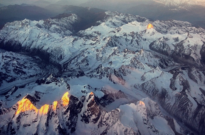 Dawn on the Zanskar Peaks Dawn on the Zanskar Peaks I covered two of the three large high altitude saltwater lakes during my previous visit to Ladakh in 2011. Tso Kar and Tso Moriri were gorgeous in different ways but the biggest and most famous of them, Pangong Tso, eluded me. I also wanted to experience a bit of the harsh sub-arctic Ladakh winter where temperatures can drop down to -40 C or even lower. With these two objectives in mind my wife, Aparna, and I decided to take a short trip to "The Land of High Passes", as the name "Ladakh" means. The airfares in December were really low and both return tickets (via Jet Airways, outbound, and Go Air, return) came to no more than INR 11,000, a real steal and half the normal fare! The selection of our hotel was not as simple as we thought as 90% of the hotels were shut in winter. We also read that most eating outlets remain closed as the patrons shut down their shutters and leave for warmer climes like Delhi and parts of Himachal Pradesh. I was also aware how cold it can really get without central heating, having spent a few years in the US midwest, so heating became a priority. The 2-3 budget hotels that were open had no central heating so we narrowed down on the Grand Dragon Hotel (Image 1), Leh's only "five star" hotel. Aparna negotiated a great rate that was half their summer rates as the hotel was running on empty for the week we were planning to go. No flight to Ladakh is complete without the customary views of the Himalayas on either side of the window. However, while the "glamor" views of Mt. Nanda Devi, Kamet and Trishul can be had from the starboard (right) side of the aircraft, the sunrise does not allow for a clear view if photography is your objective. I chose our seats on the port (left) side of the Boeing 737-700 aircraft and was not disappointed. Twenty minutes after the flight took off I saw the foothills of the Himalayas. This view was soon replaced by the sudden rise of the middle Himalayas, the Dhaulagiris, of Himachal Pradesh, as we flew over Paonta Sahib on our right (the place where the river Yamuna hits the plains), and flew directly over Shimla and passed Manali on our left. The peaks grew higher as we crossed Rohtang Pass and crossed into the Zanskar area of West Ladakh. We saw the most amazing craggy peaks and glaciers as the winter snow was beginning to accumulate in the 20,000 ft massifs. The steep landing into Leh is one of the trip's highlights as the aircraft loses altitude sharply to dip from 32,000 ft to the 12,000 ft height of Leh valley, crossing the 21,000 ft Stok Range. It takes a trained pilot to land here, compounded by the added complexity of rarified air at this altitude where the aircraft does not get the necessary drag and lift of the plains. Sweet!! Much of Day 1 was spent lying in bed after a wonderful breakfast at the Grand Dragon and we caught up on sleep. The view from our hotel room was awesome (posted in the "Landscape" page) and the cup of chai had by the side of the window was sublime! We decided to head out for a late lunch and was told to eat at a reputed Kashmiri restaurant, Wazwan, in Leh market. The food there was very good as we were hungry and they had a separate seating area with central heating. After lunch we went to Shanti Stupa but could not stay long there as Aparna was troubled by the freezing cold (about -6 C) and the windchill. I had been there on my previous trip so wasn't overtly concerned about photo opportunities. We headed back to our hotel and went to sleep early. The rarefied air did not trouble us too much and we slept soundly. Day 2 was for the standard city tour, the perfect way to acclimatise. I was initially thinking of driving to Pangong Tso on the second day itself to give myself a buffer day in case the weather set in suddenly, but was dissuaded by the hotel staff, rightfully so. We were not yet fully acclimatised and that became apparent when Aparna started getting a headache as we returned from the Indus-Zanskar Confluence point. Some meds were needed and she also took a diamox as a preventive in case things got really worse. I was fine as I have good experience of traveling at high altitudes, but breathing was getting a bit difficult. We spent the evening planning for our 5 hour each way drive to Pangong and asked the hotel to prepare us a boxed lunch. We also used the hotel's own Toyota Innova as they came with oxygen cylinders and a first aid kit, not to mention a highly trained and experienced driver. Spending three days in Ladakh just did not give us the time to take unnecessary risks. Ladakh is built of a series of high ridges with an average altitude of 20,000 ft. The valleys between these ridges lie at altitudes ranging between 10,000 ft ( e.g. at Nubra) to 14,000 ft (at Pangong and Moriri), so to travel between valleys one has to cross high-altitude passes that could range anywhere between 13,000 ft to over 18,000 ft, hence the name "Land of High Passes". The ridges for the south-east portion of the Karakoram Mountain Range, often mistakenly described as a part of the Himalayas, but are actually a different mountain range linked to the Himalayas and have a very unique topography of their own. The northern boundary of the Karakorams are home to the highest concentration of 8000 m peaks outside of the Nepal Himalayas. Just north of Ladakh's Siachen area lies K2, the world's second highest mountain, and next to her are the other 8000 m peaks, Gasherbrums I and II and Broad. The area also boasts of several 7000 m + peaks like Masherbrum and are an impregnable northern boundary to the Indian Subcontinent. The Karakoram ridges in Ladakh are cut by three main rivers from east to west, respectively, the Shyok, Indus and Zanskar. The drive to Pangong in the winter is a day's drive, each way of 5 hours, and is done by crossing the Chang La ("La" meaning "pass"). The drive south-east, on Day 3, took us past the monasteries of Shey, Thiksey and Chemrey (Image 2) and, from the latter, the road begins to climb. I was a bit tense as the impact of altitude change on us, and mostly Aparna, was unknown. I have been traveling to the Himalayas over the last 25 years to various altitudes, so I usually acclimatise well. Aparna can be prone to some nausea and headaches so she popped diamox before we headed out. The winter morning was clear and the skies were a deep blue so I was optimistic that the we would go through Chang La without any problem. No snow was predicted in the area but mountain predictions can be notoriously unreliable. That said, the air was dry so I did not expect any precipitation. Snow at these altitudes, similar to that at Everst Base Camp, can be devastating, especially in the winter. As the road climbed higher beyond the village of Sakti, we left all civilization behind and all we saw were barren wind-swept high ridges. There was no vegetation as most of Ladakh is in the rain shadow region of the Himalayas and well above the tree line. The landscape here is the same as what one experiences in Tibet as the land mass is one and the same. Tibetans commonly refer Ladakh as "Western Tibet". Being winter there was no tourist traffic on the road. None! We passed the first car carrying local goods after more than an hour, that too in the opposite direction! It took us three hours to reach Chang La (Image 3), well on time. Our driver, Chhiring, insisted that we spend no more than five minutes as the pass was at 17,688 ft (5,360 meters), roughly the same altitude as Everest Base Camp (EBC), and higher than K2's base camp. High Altitude Sickness (HAS) can set in quickly at this height if we are not careful, for fit and unfit people alike, so all we did was take a few usual pics and a quick bio break at the open shed of a toilet (yeah, frozen poop and pee everywhere...awesome!!). The wind was bone-chilling and I regretted not wearing an extra layer under my jeans. The temperature here must have been around -15 C but the wind-chill would have been closer to -25 C. The army folks based here did not even bother to get out of their warm shelters as they looked incredulously at us. They must have been wondering why anybody would even try to venture into the mountains in the winter, that too in Ladakh! From Chang La it was all downhill. We passed the small army camp at Tsoltak and then headed in a south-easterly direction towards Durbuk valley (Image 4). The army has a major military presence at Durbuk and Tangtse (image 5) as these are the last permanent human settlements till the Chinese border at Pangong Tso. Tangtse is the official gateway to the Changthang and we had to check in at the office of the Wildlife Department (Image 6). We also had our breakfast here consisting of chicken sandwiches and coffee. The altitude here was a comfortable 12,000 ft so we did not face any breathing difficulties. The Shyok River, originating at the Rimo Glacier near the Siachen Glacier and located just one massive ridge away, flows south-east and, just north of Tangtse, takes a complete U-turn and flows north-west into Nubra. This strange route can be attributed to the impact area between Tibet and the Subcontinent with the Karakorams forcing the south-east route. A break on the ridges north of Tangtse gives the river a chance to flow towards the Indus watershed. The Harong stream at Tangtse (Image 5), originates at a glacier in the Pangong range and flows north-west parallel to the Shyok, finally merging with the river. Beyond Tangtse, the valley narrows further as the road climbs higher towards Pangong and it gets colder. We begin to see substantial icing on the fast flowing Harong with the drop in temperature till we reach parts where the entire stream is frozen (image 7). The valley then opens up a bit alongside high snow-clad ridges of the Pangong range (image 8). The scenes are dramatic and we continue to climb till we reach an area covered by a field of sand, somewhat like a micro-Nubra. The sudden change is stark and a big contrast to the moraine-like topography we saw earlier. From the corner of my eye I see some shapes in the sand. Kiang (image 10)!! These Tibetan wild asses are extremely shy creatures and are found in plenty near the Morey Plains of Tso Kar further south but I had not expected to see them near Pangong. They were sitting calmly in the sand and, on hearing the engine of our car, started moving away nervously. I took a few pics and we then drove downhill towards Pangong. We reached the beautiful blue saltwater lake (images 11-15) at 12:30 PM after a five and half hour drive. The sky was blue, with strands of high clouds. As we turned south along the banks of the lake I saw beautiful lenticular cloud formation along the high peaks. A third of the lake, about 34 Kms, lies within India and the rest of the 100 Kms is in China/Tibet. The distant peaks in China can be seen as one looks south east towards the border (image 12). The first week of December saw unusually warm weather in Ladakh so we could see the edges of the lake beginning to freeze (images 12 and 15) but not much else. But the ice was thick where it had frozen and we were told that the entire 134 Km length of the lake (a mere 5 KM at its widest point) freezes by January, and gets thick enough for vehicles to drive over. There was a visitors area next to the Army canteen and we decided to have our lunch of chicken sandwiches, fruit and juice, washed down further by coffee. The coffee was not strong but it was hot and thats what mattered. A couple of soldiers of the Rajput Regiment based there came over to say "Hi"; brave souls defending the nation in an inhospitable land. Aparna went to say hello to their officer who was friendly but did not want to say too much due to the sensitivity of the border area. He said that the Chinese troops kept to their side of the border in this area and any "incursions" were discussed regularly over flag meetings and through Delhi. We were the only tourists there that day. After taking a few more shots we decided to head back as we had to reach Leh before sunset. |
AuthorI'm a travel junkie, photographer and a newbie blogger. More coming soon! TRAVEL DEALSArchives
May 2018
|
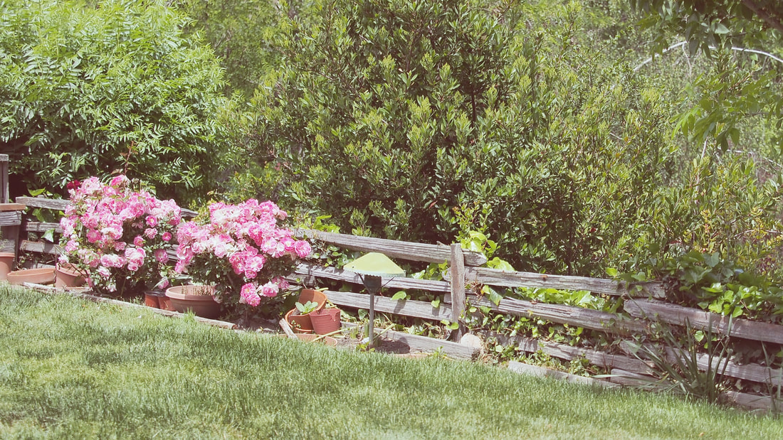
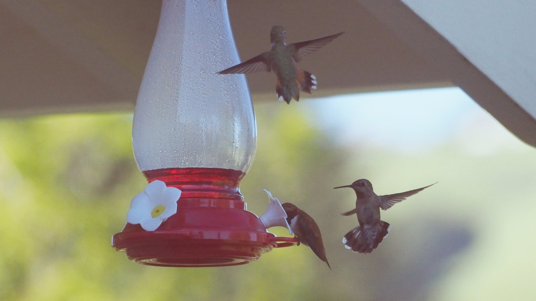
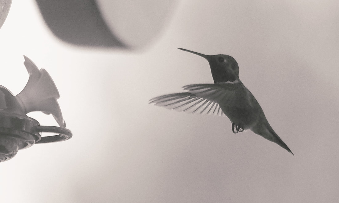
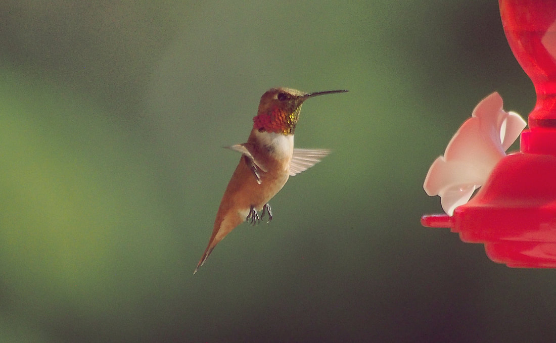
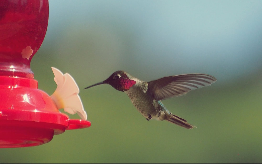
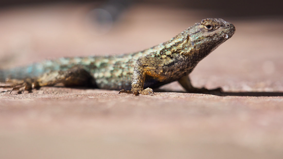
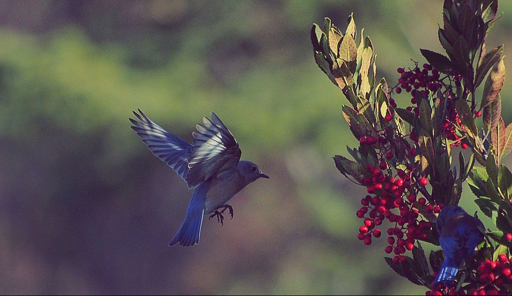
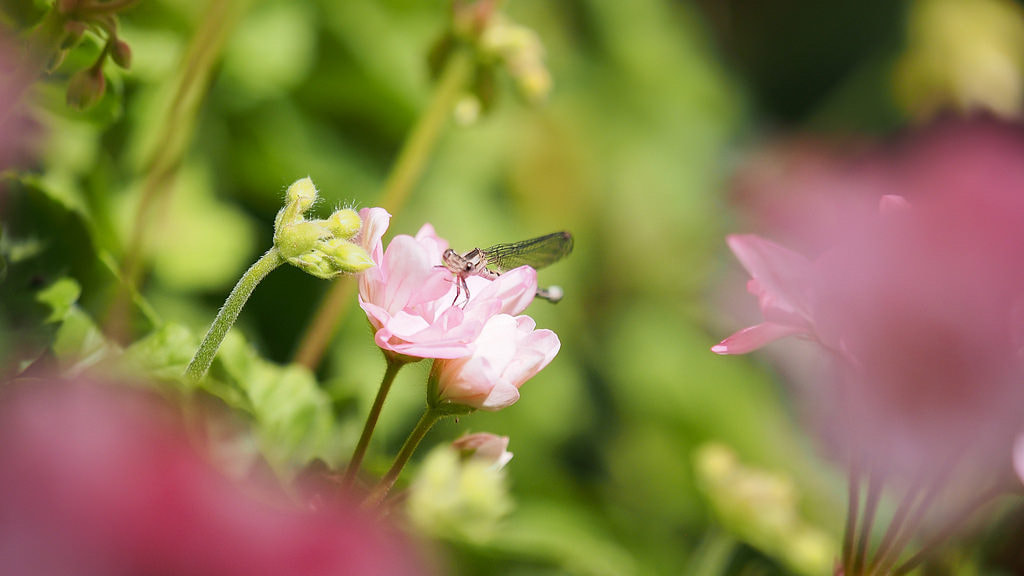
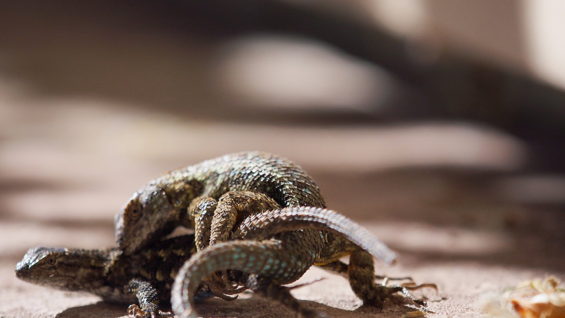
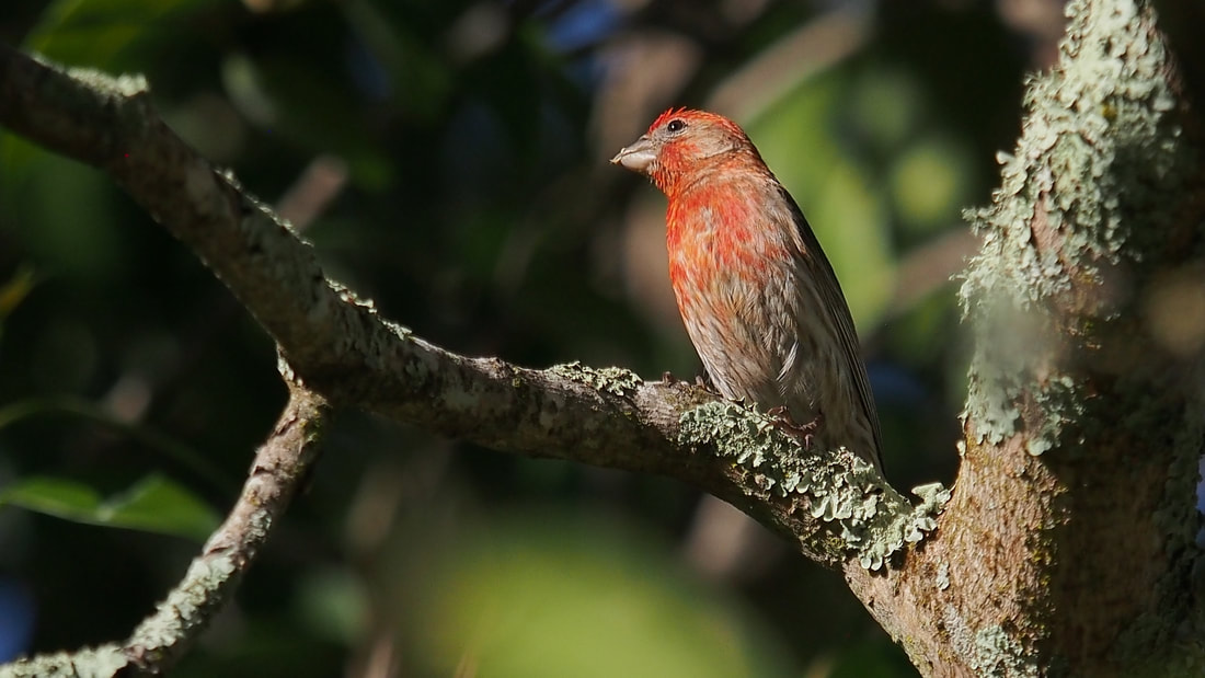
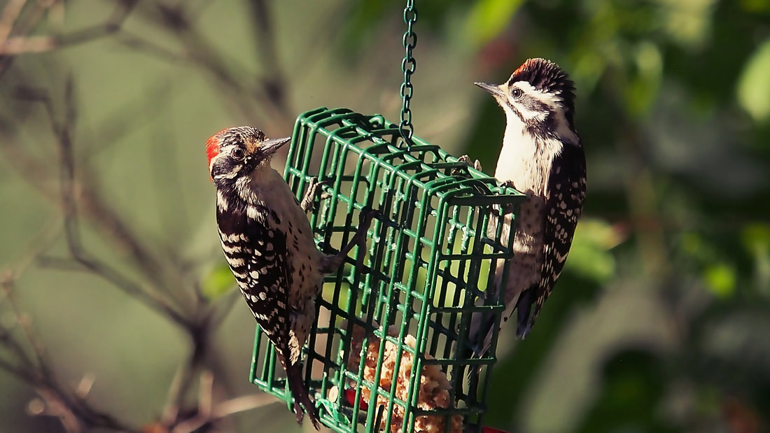
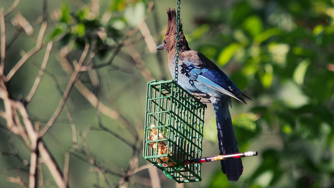
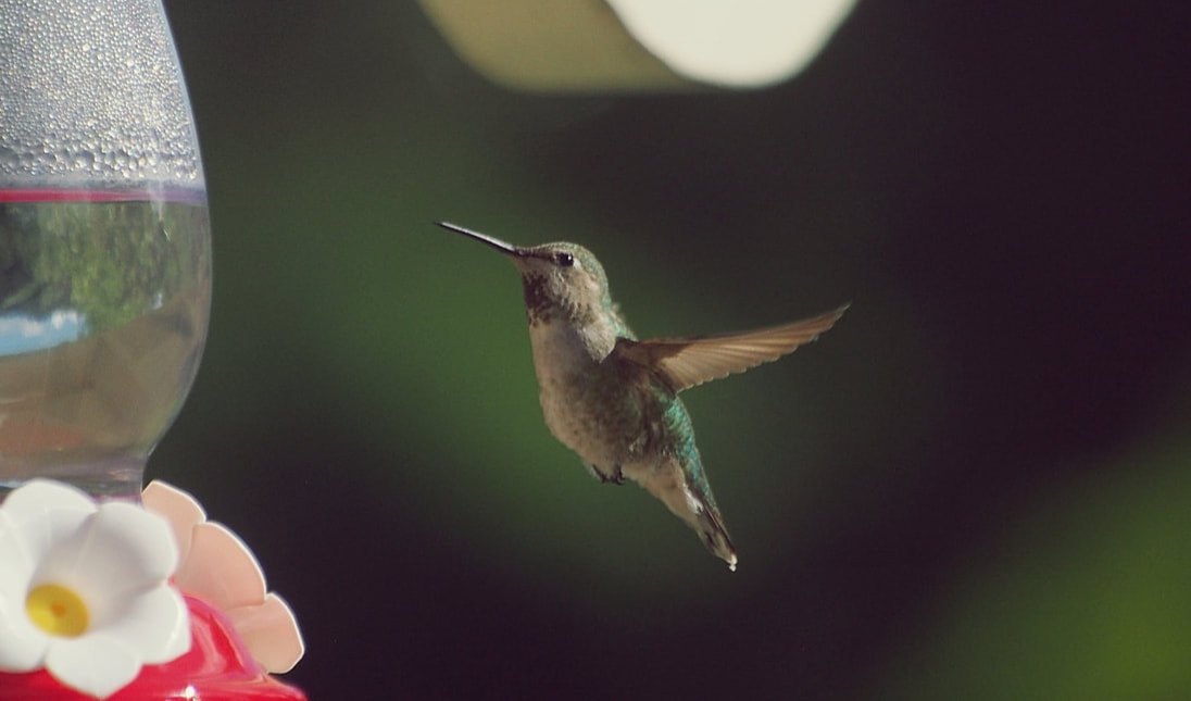

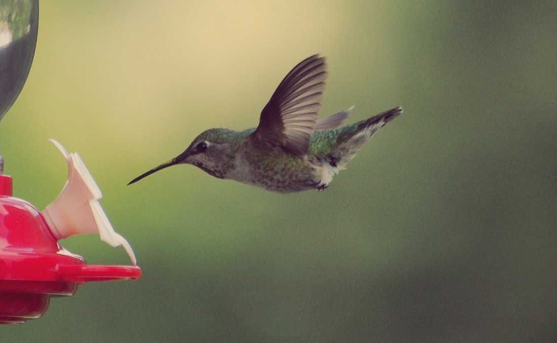
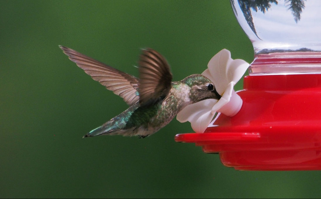
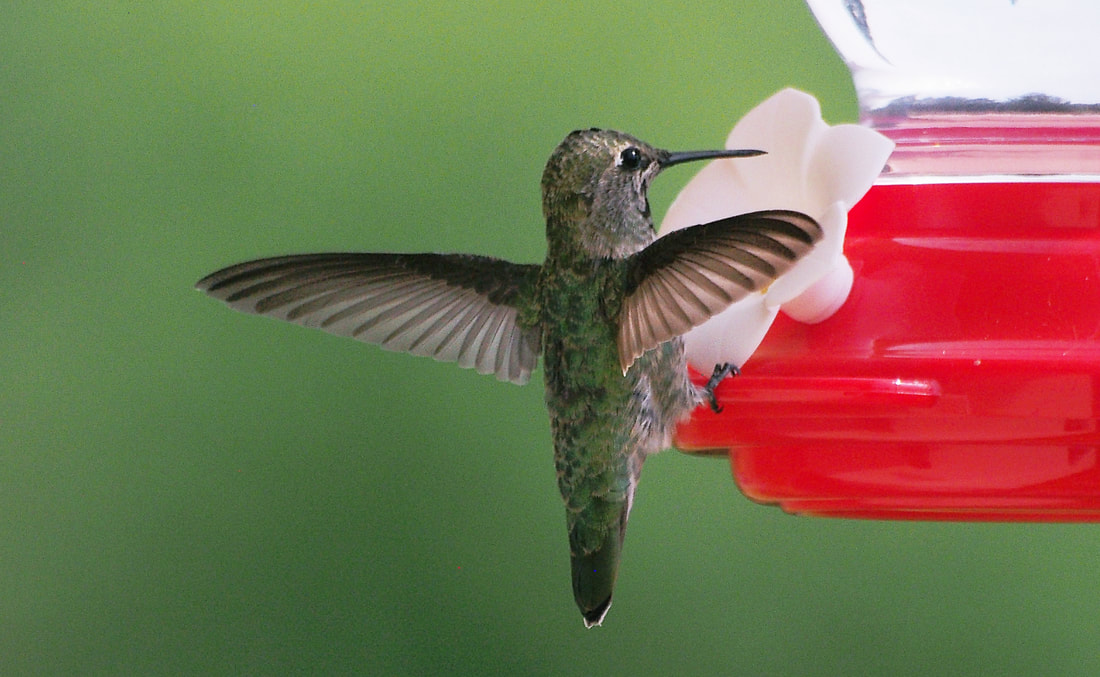
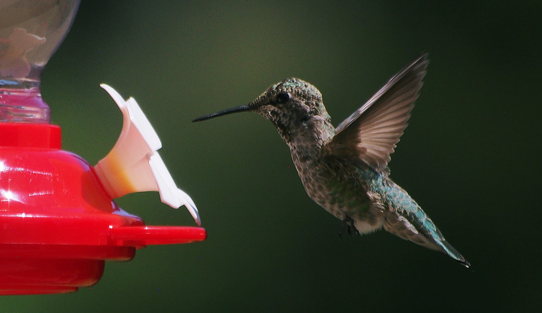
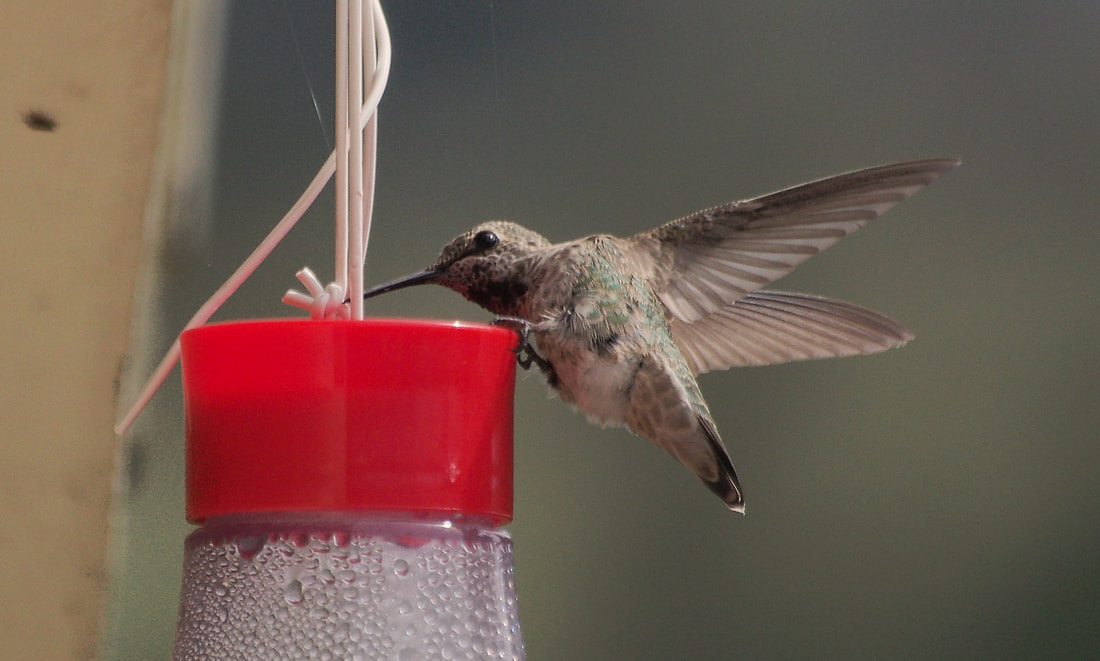
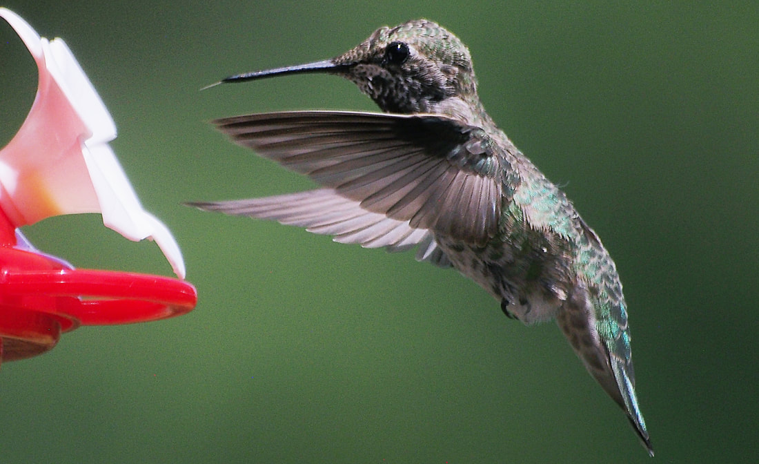
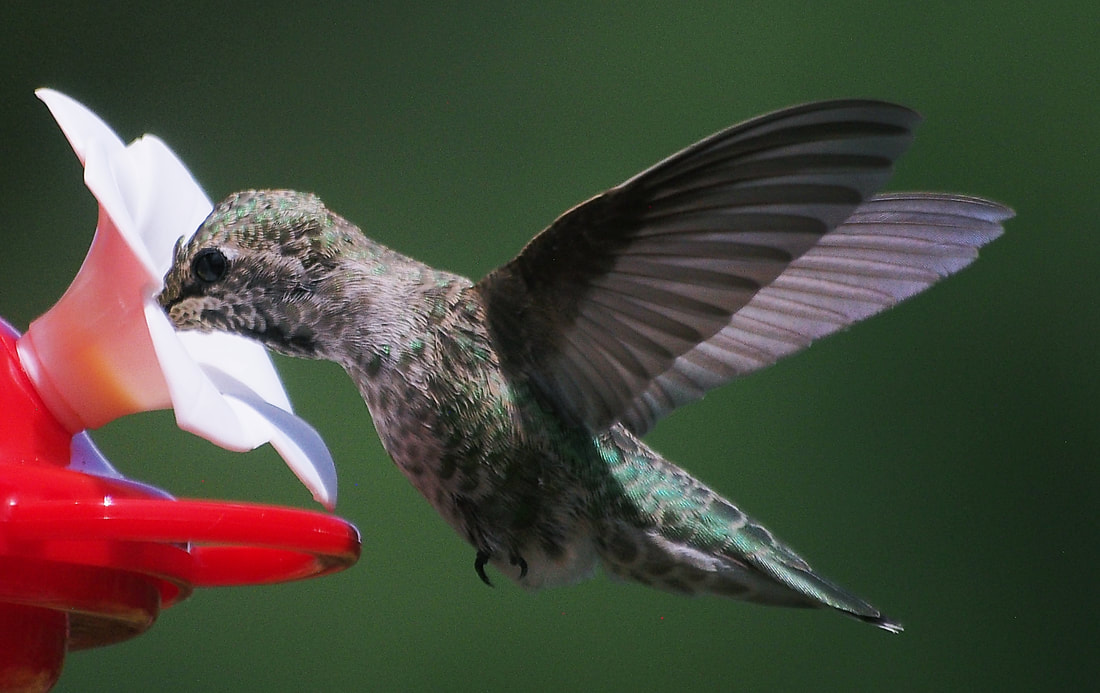
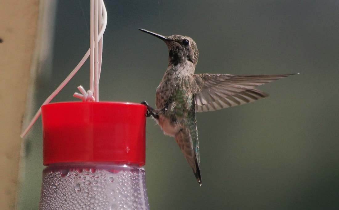

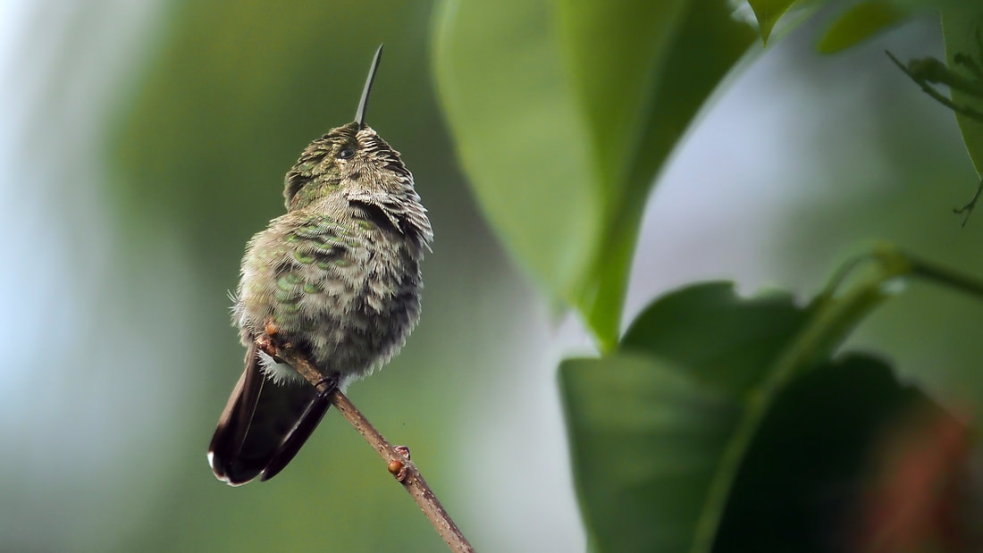

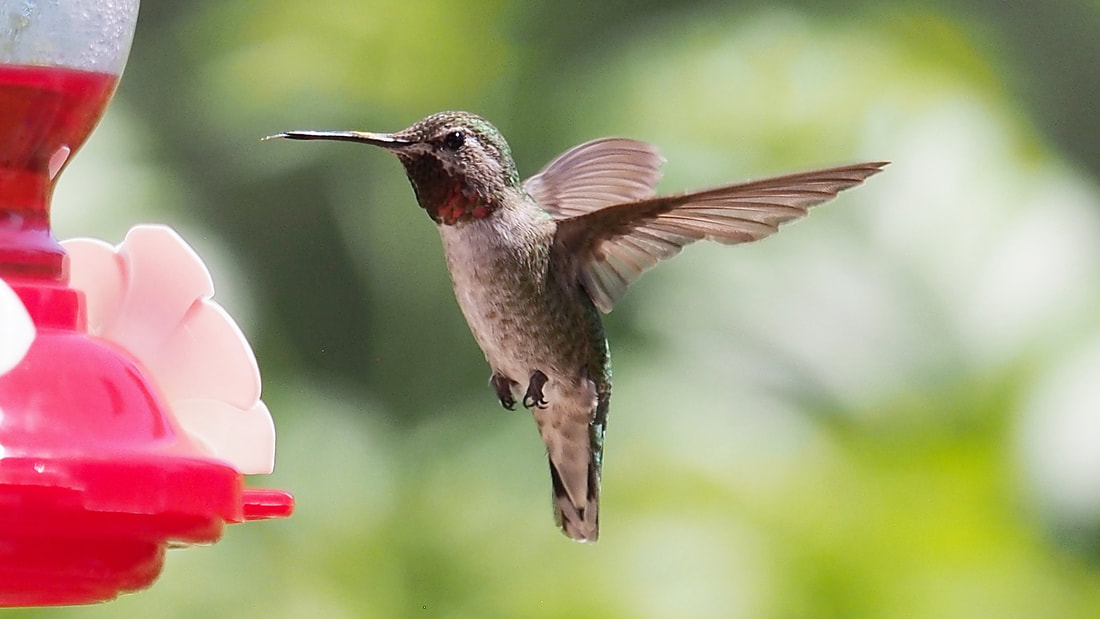
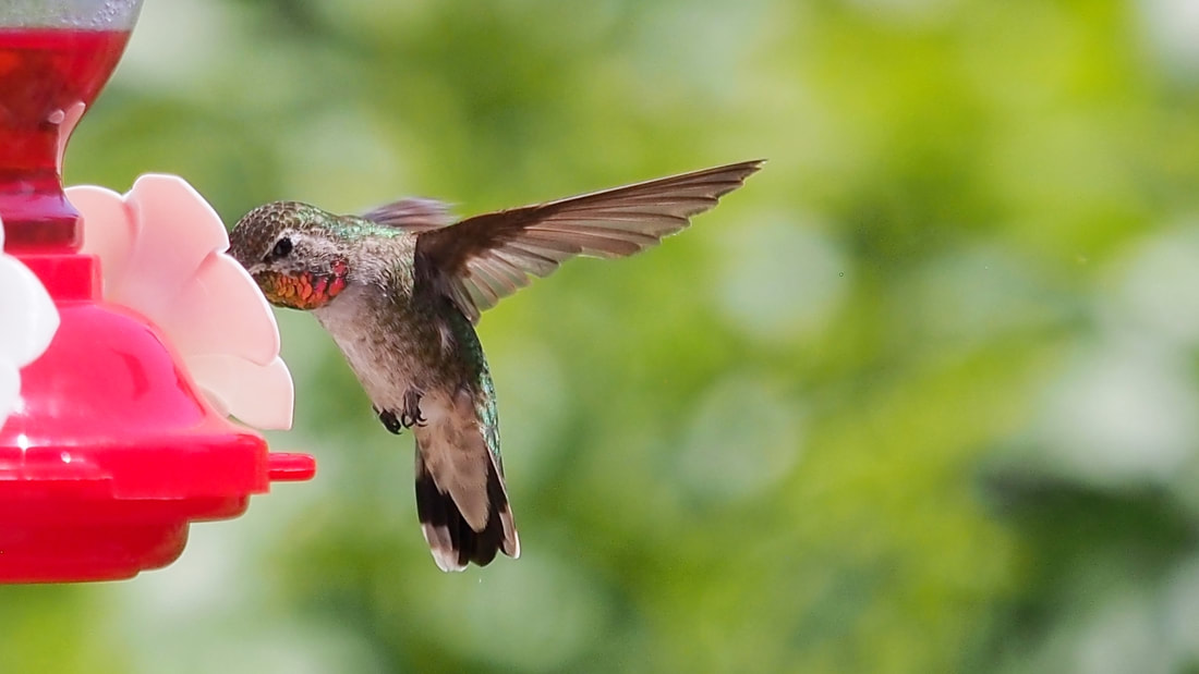
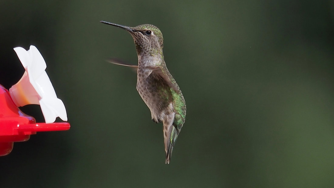
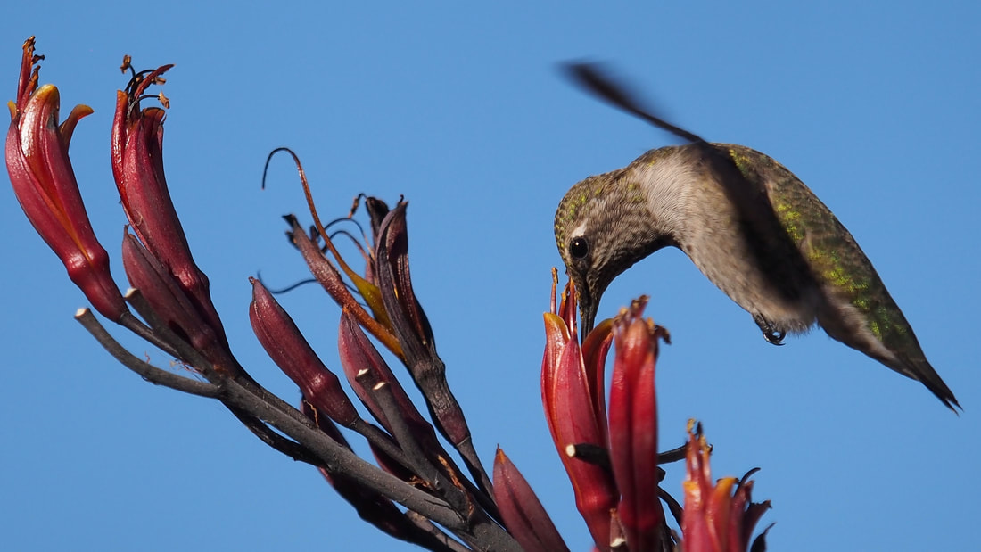
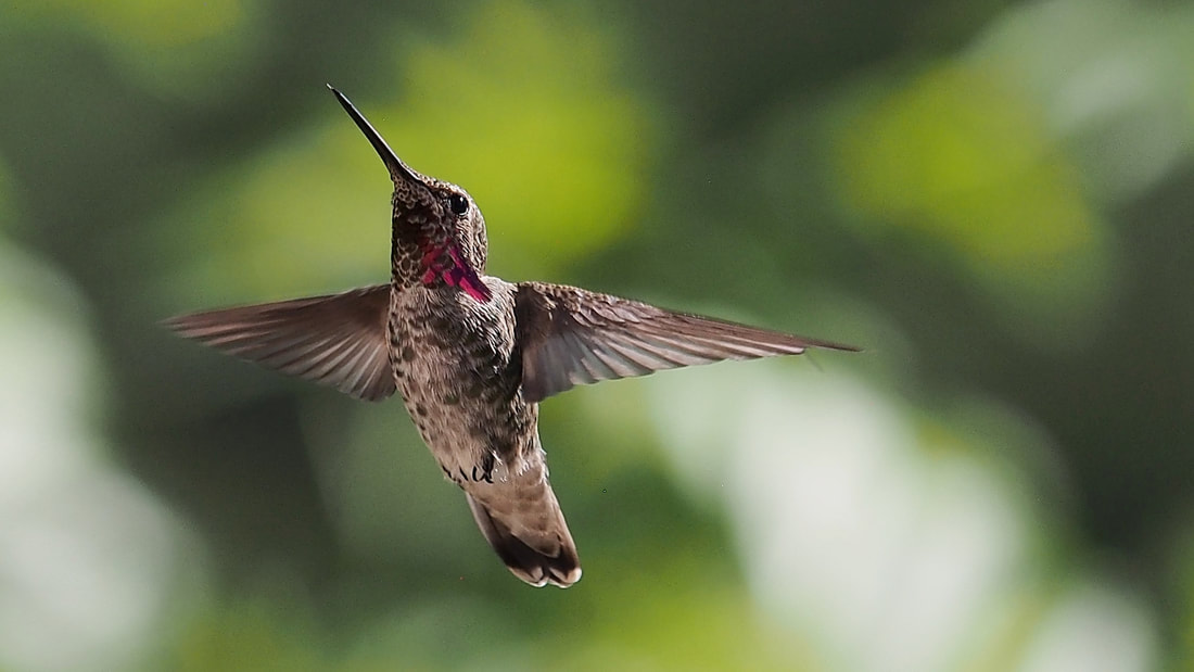
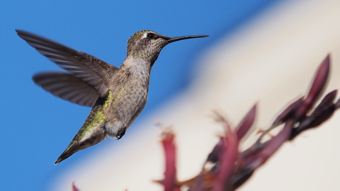
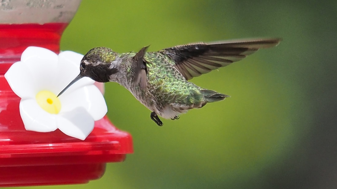
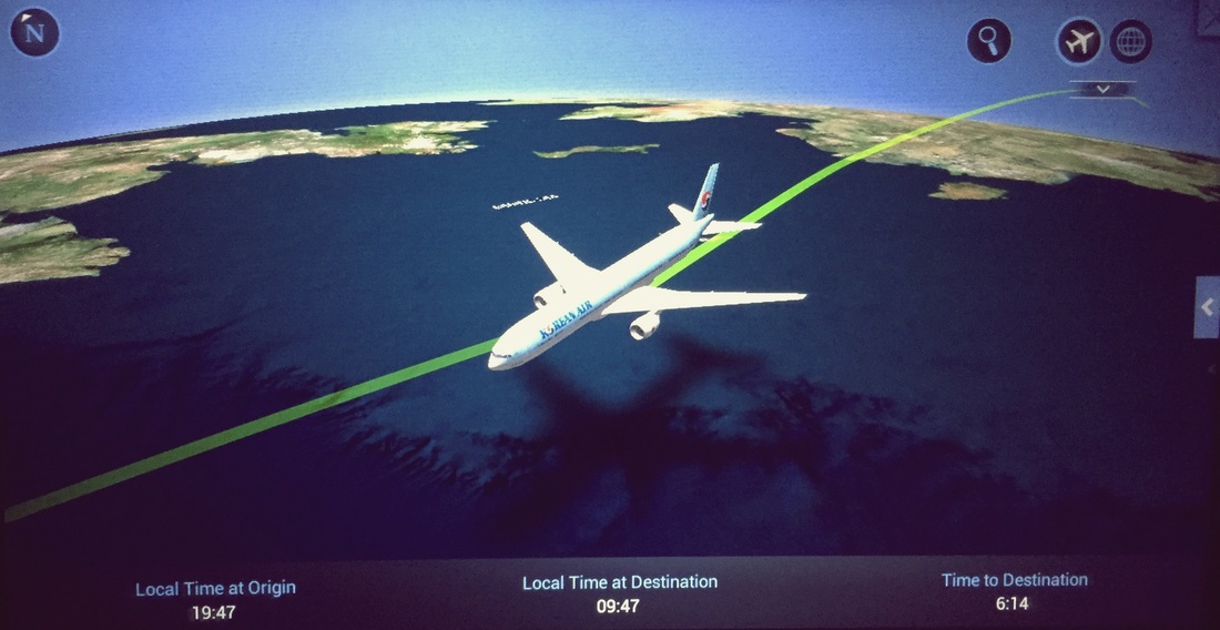
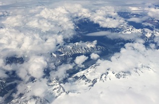
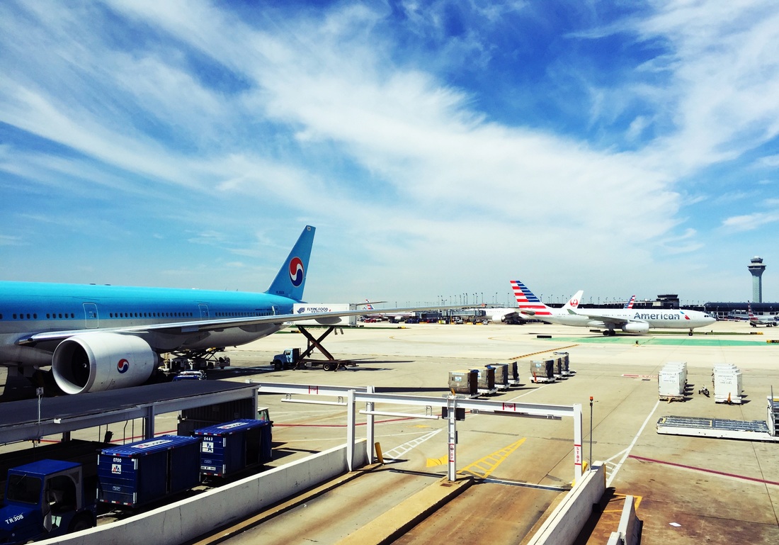
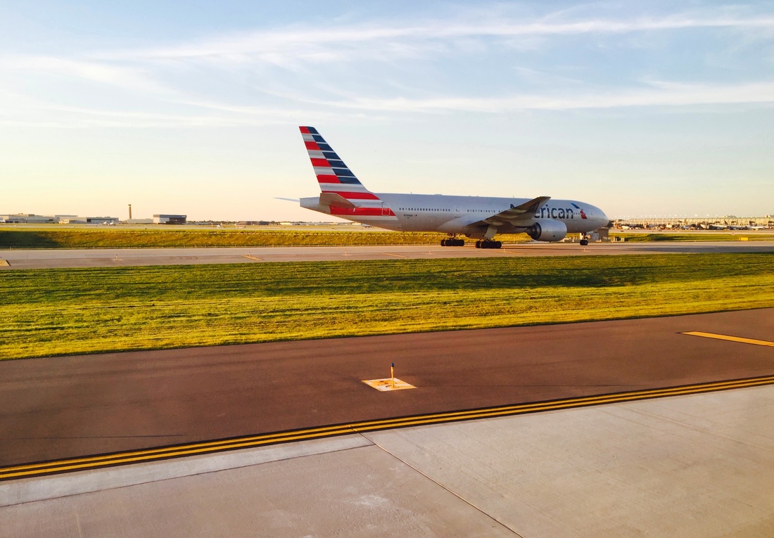
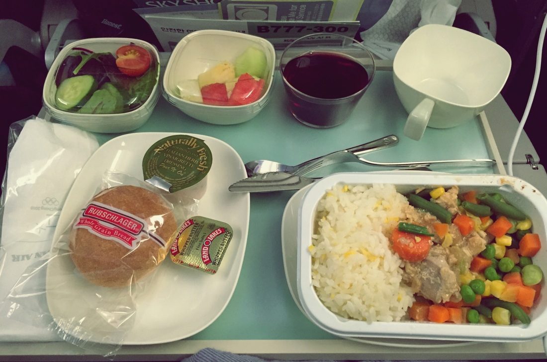
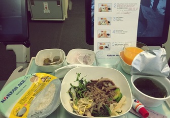
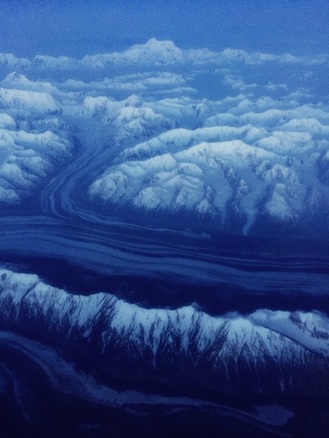
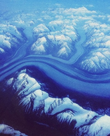
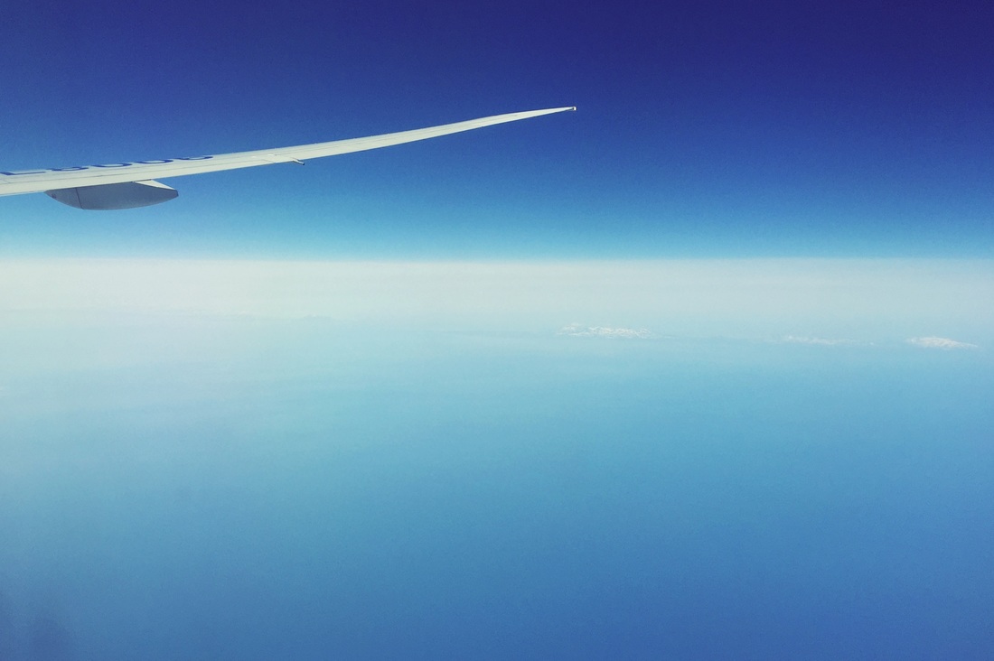
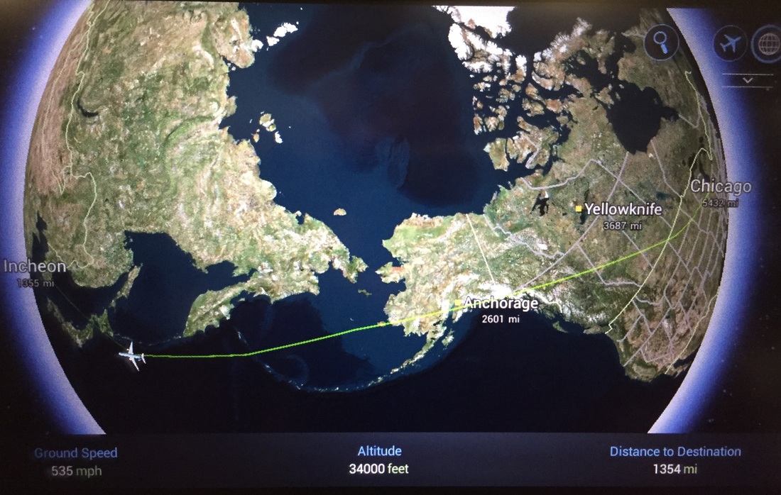
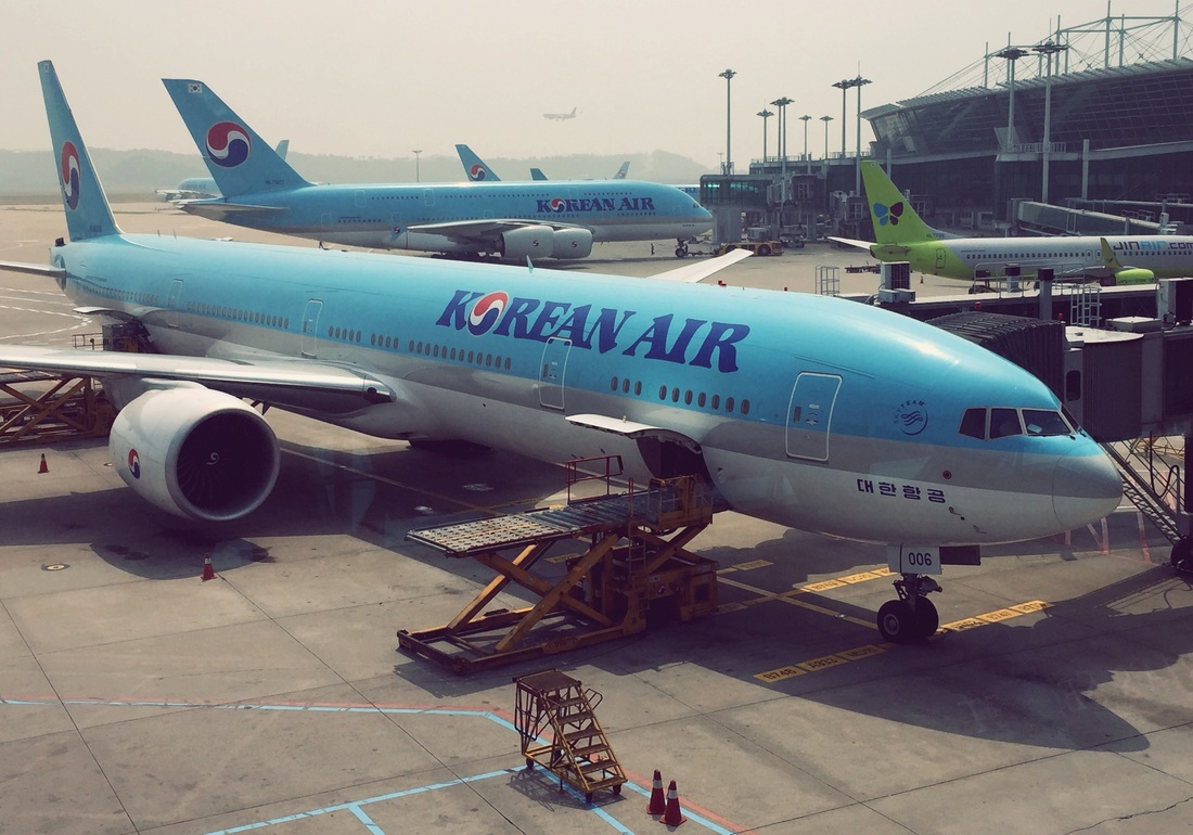
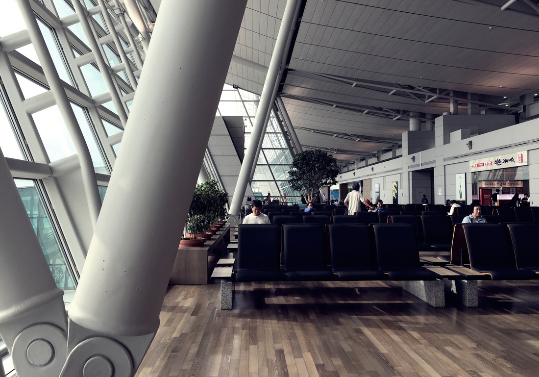
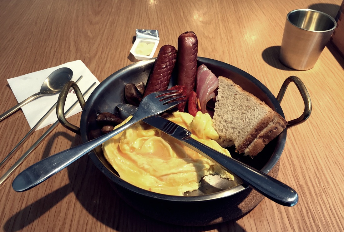
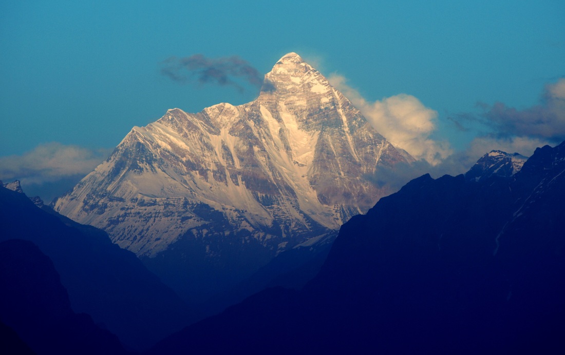
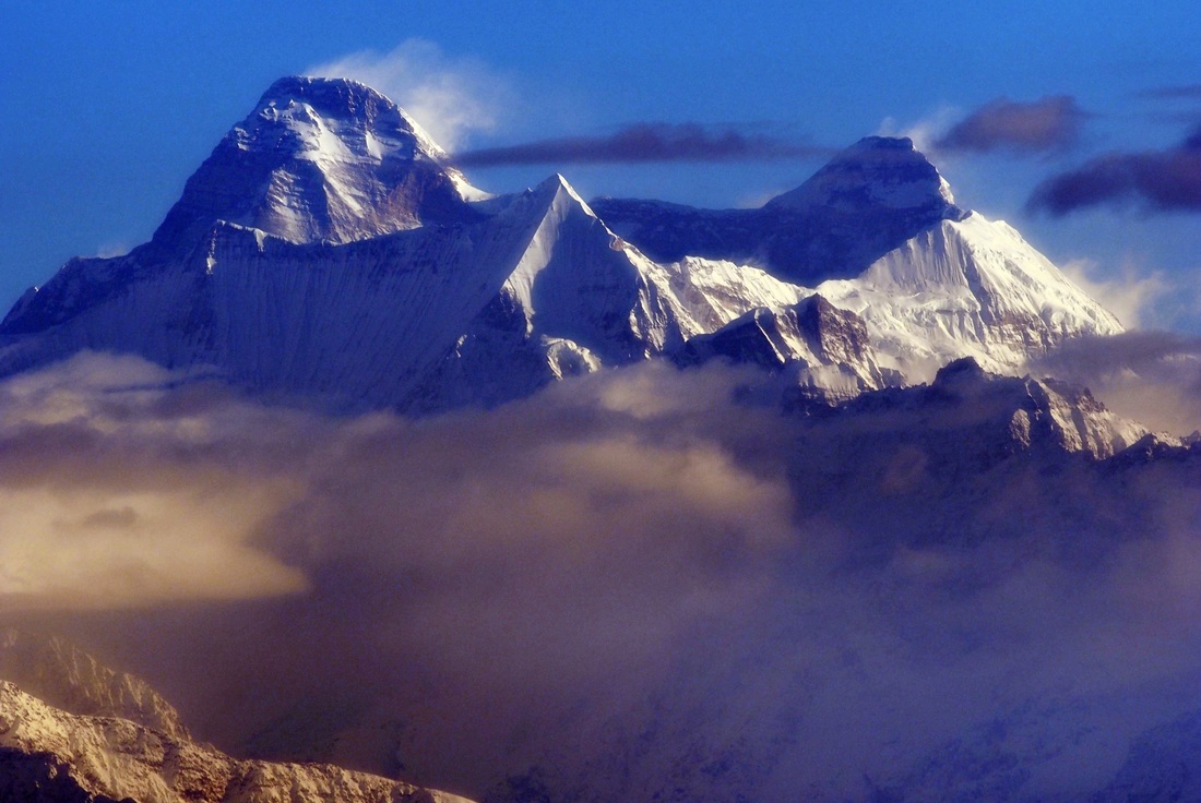
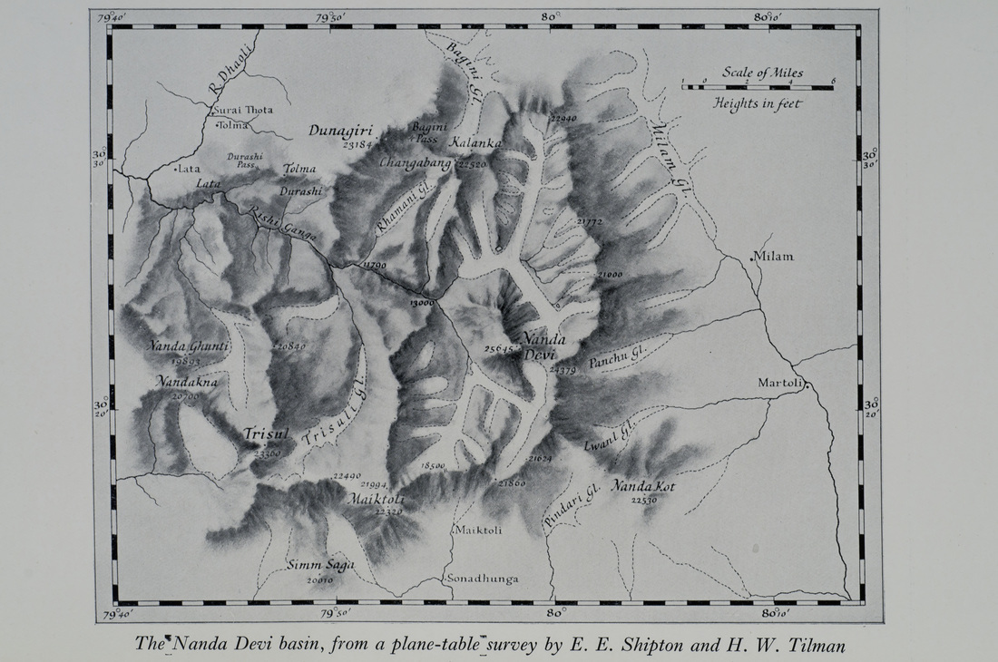
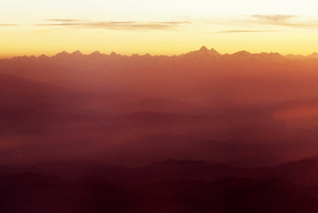
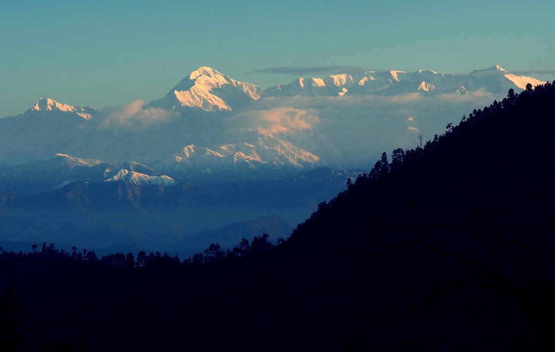
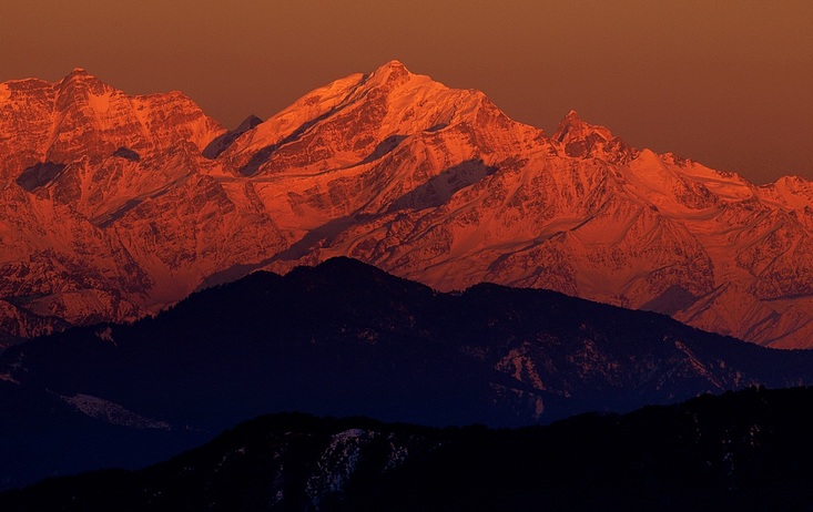
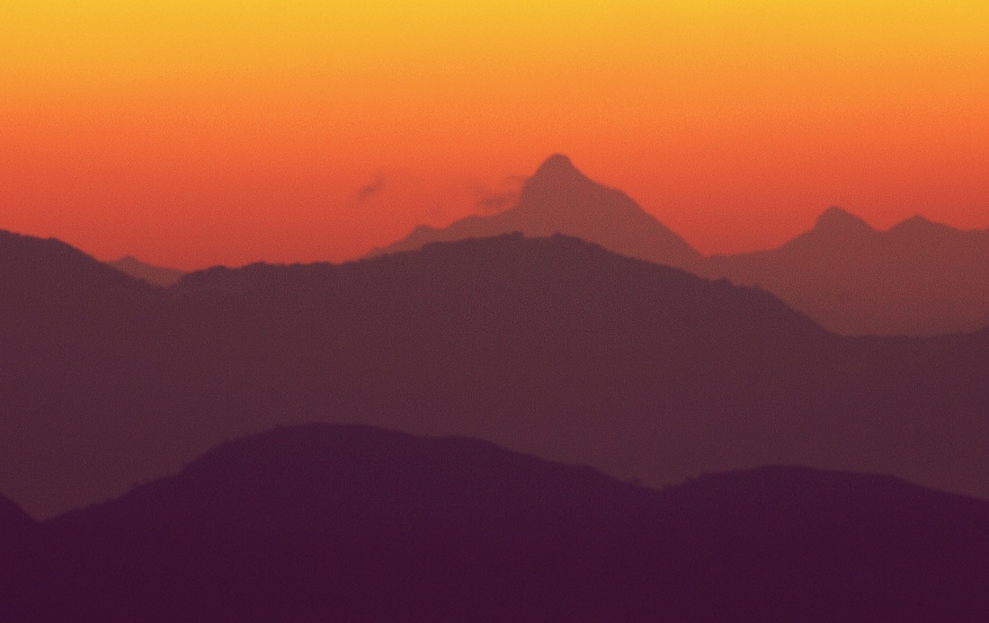
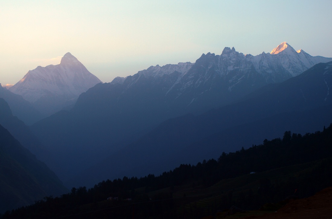
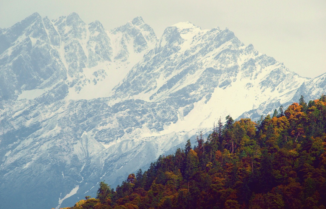
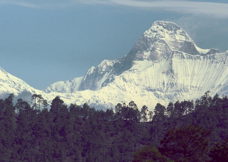
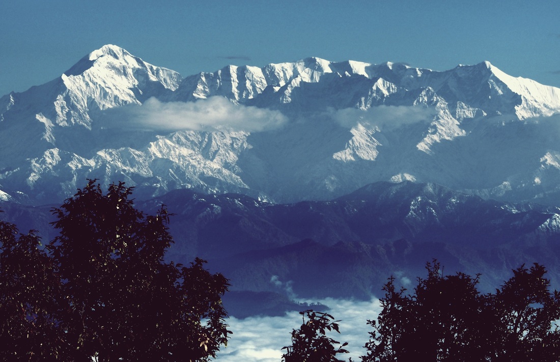
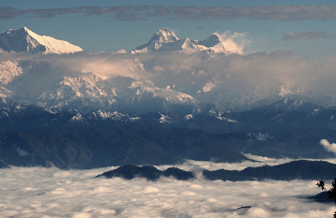

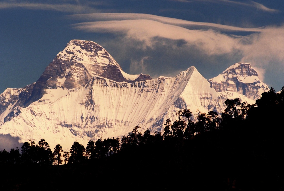

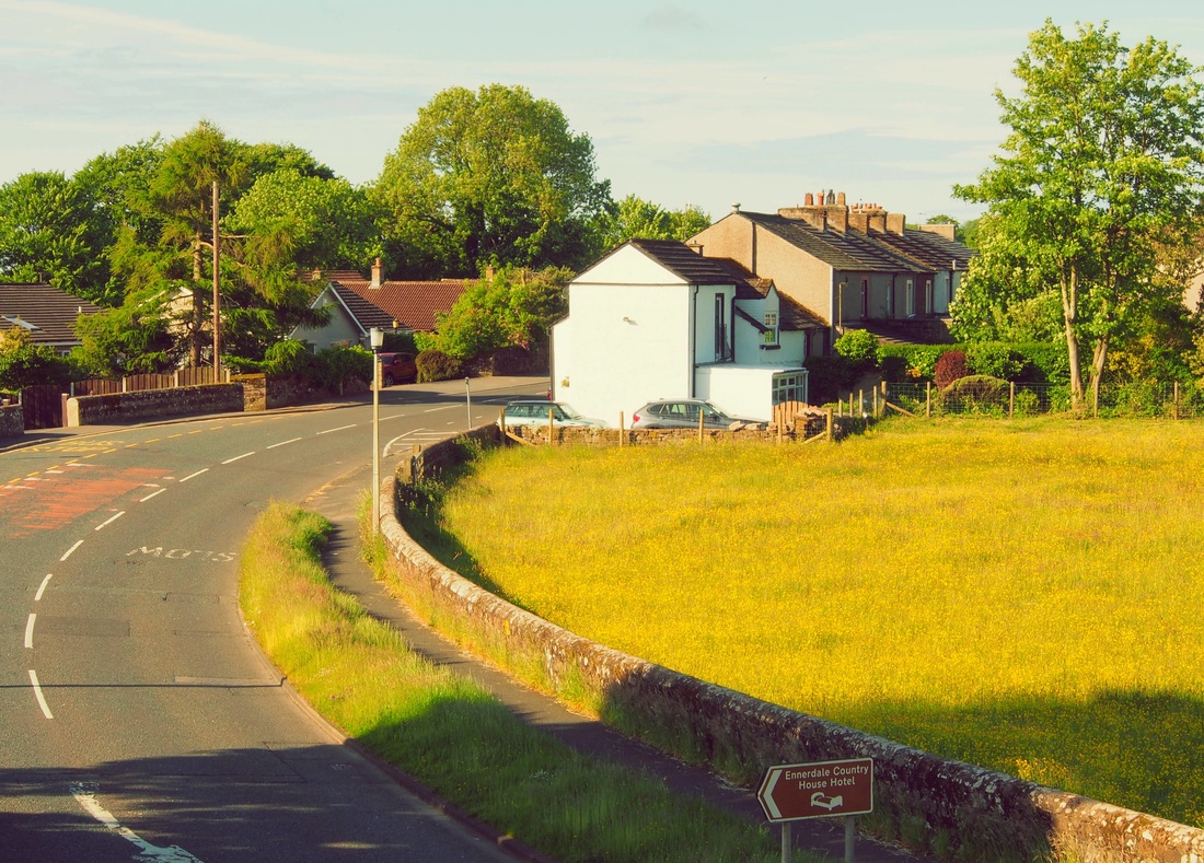
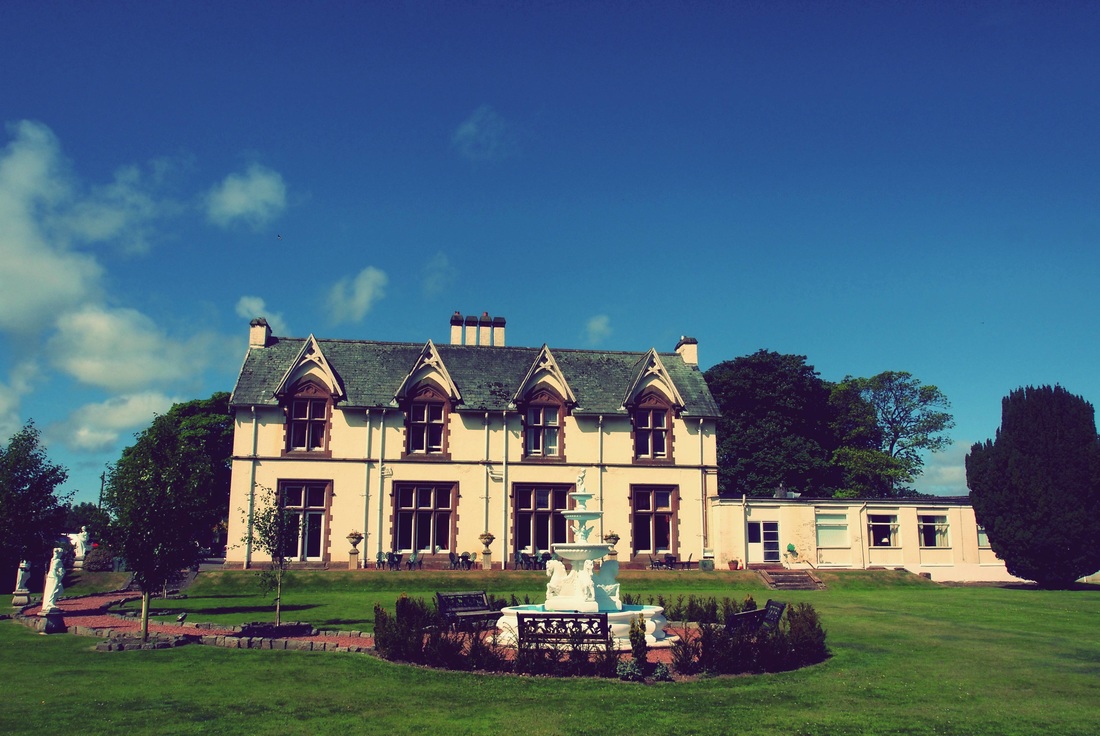

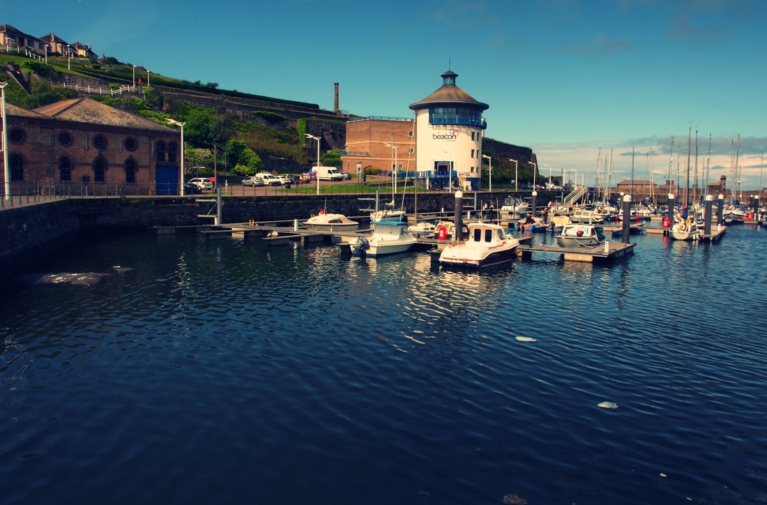
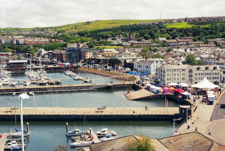
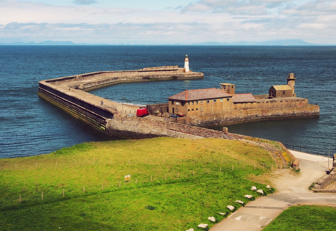
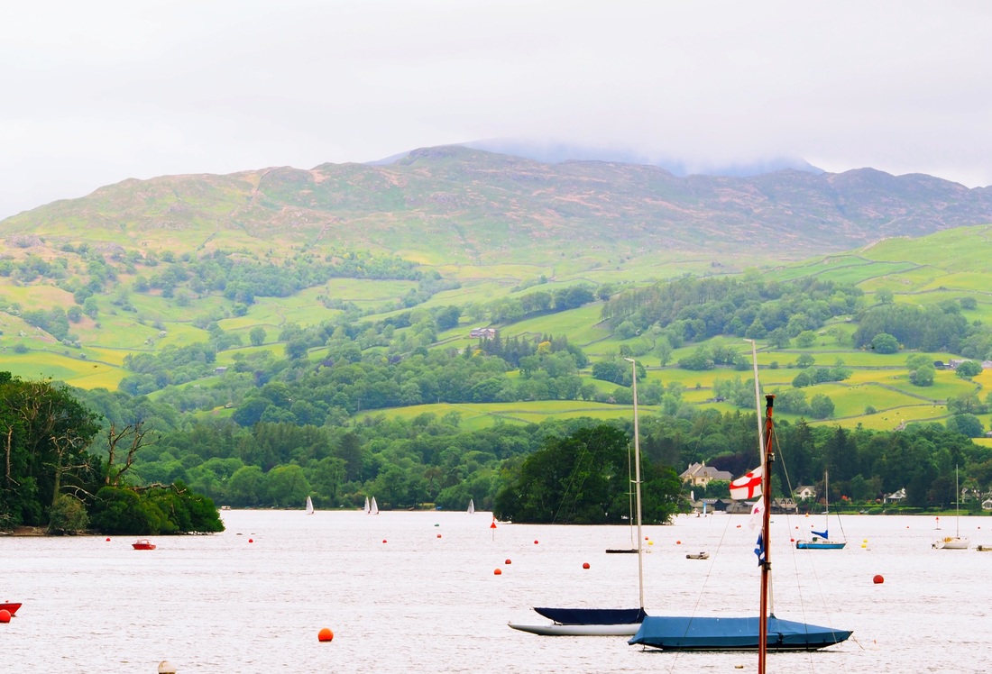
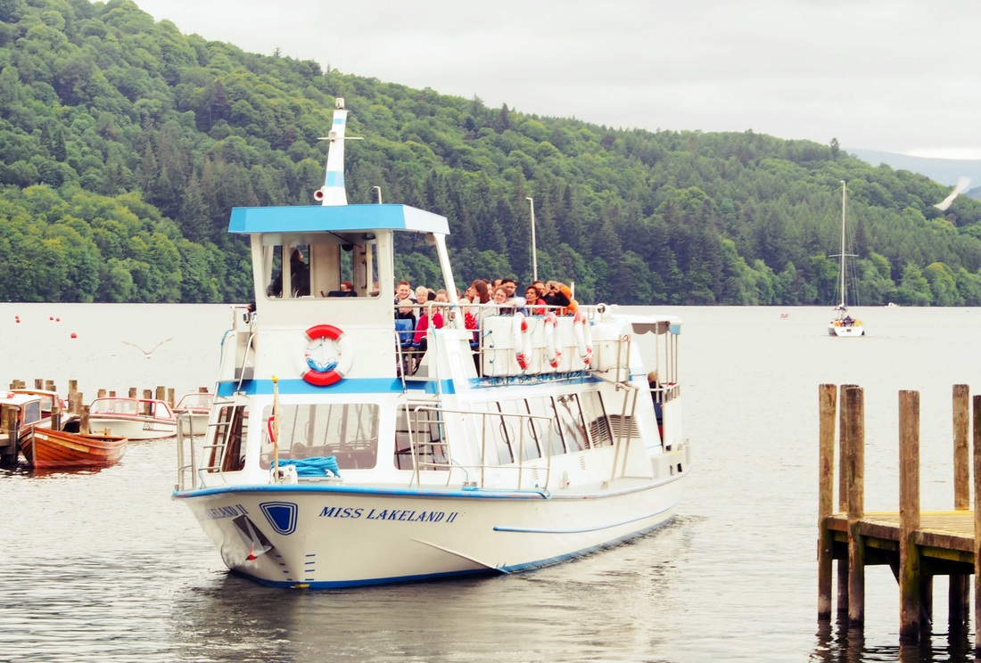

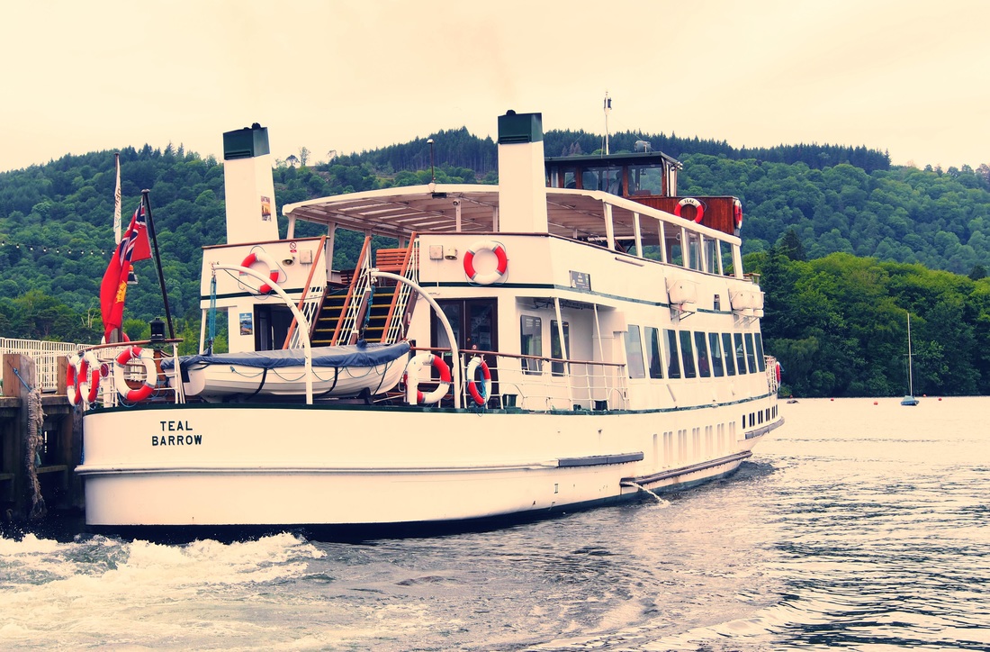
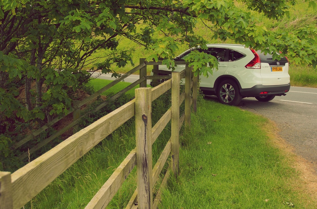
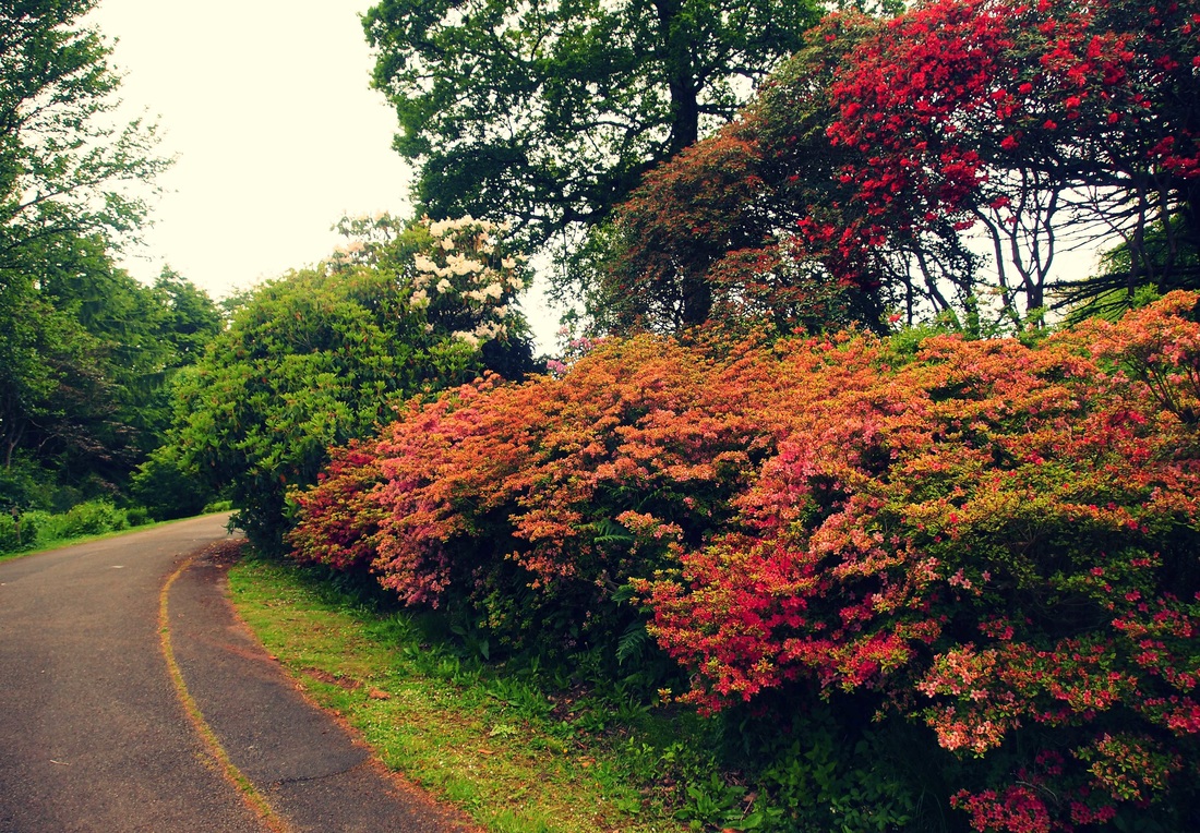
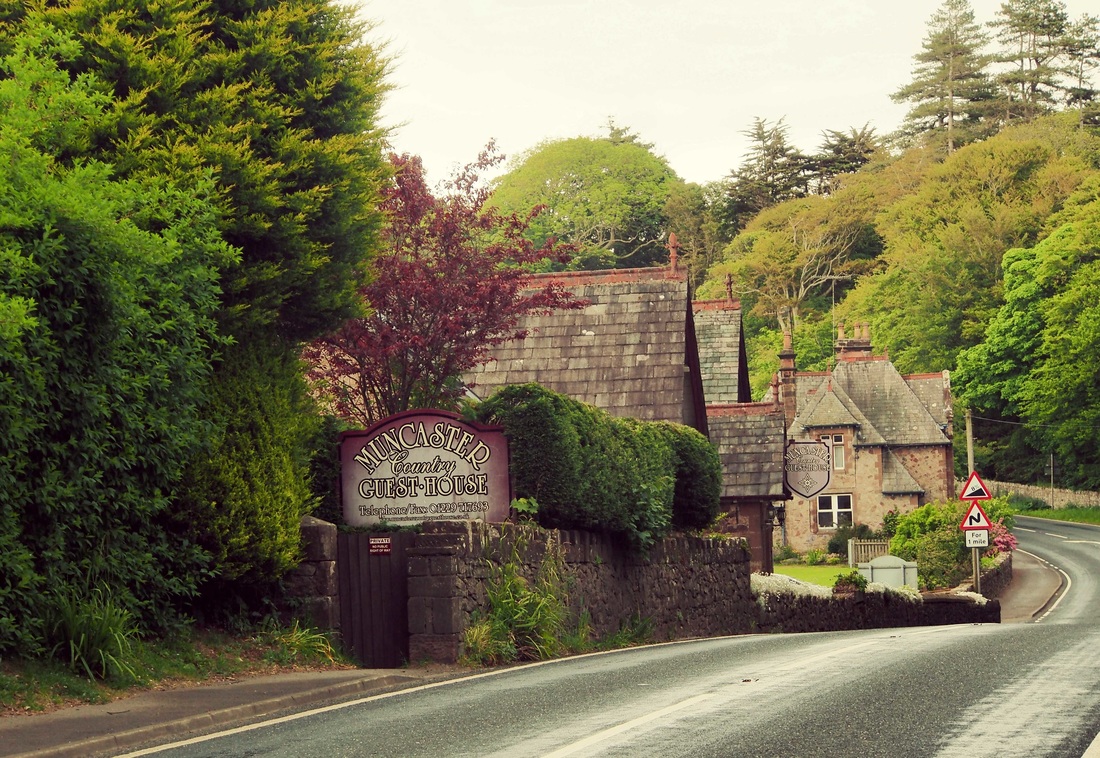
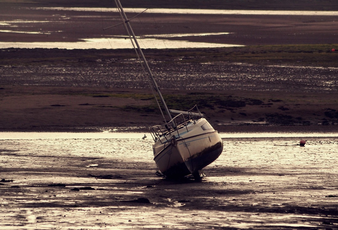
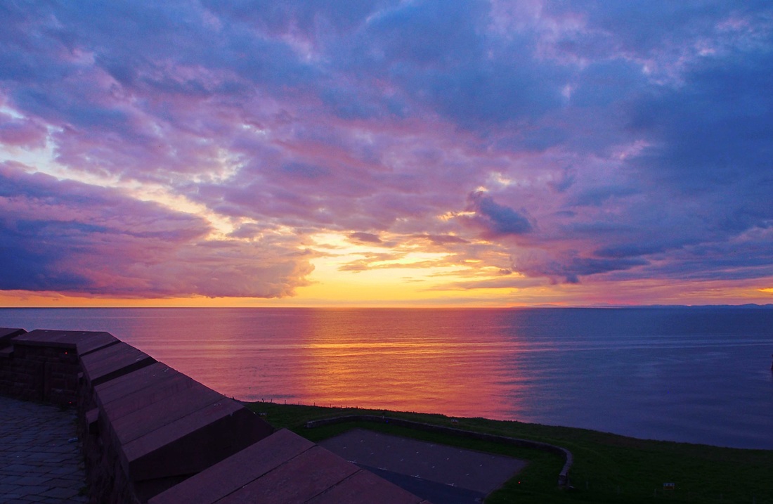
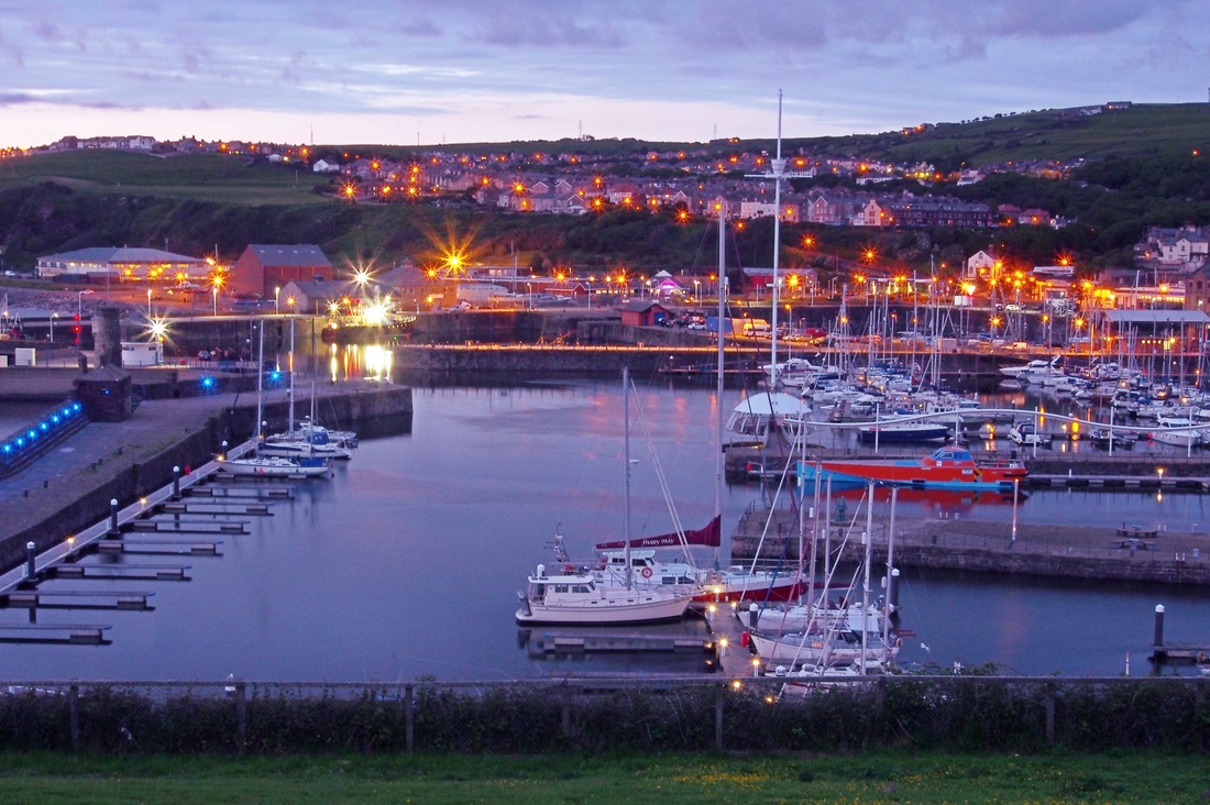
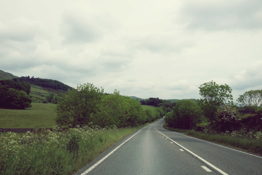
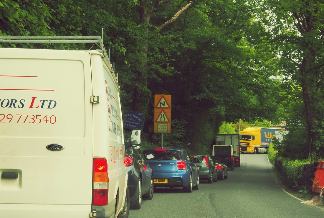
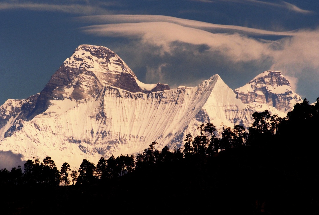
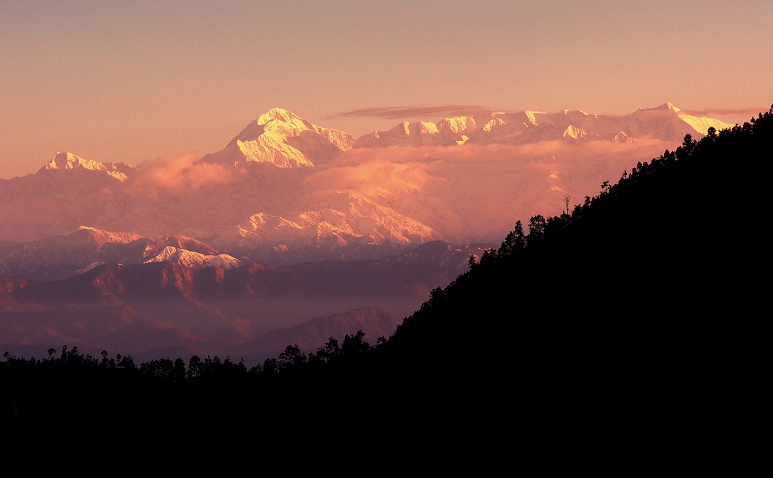
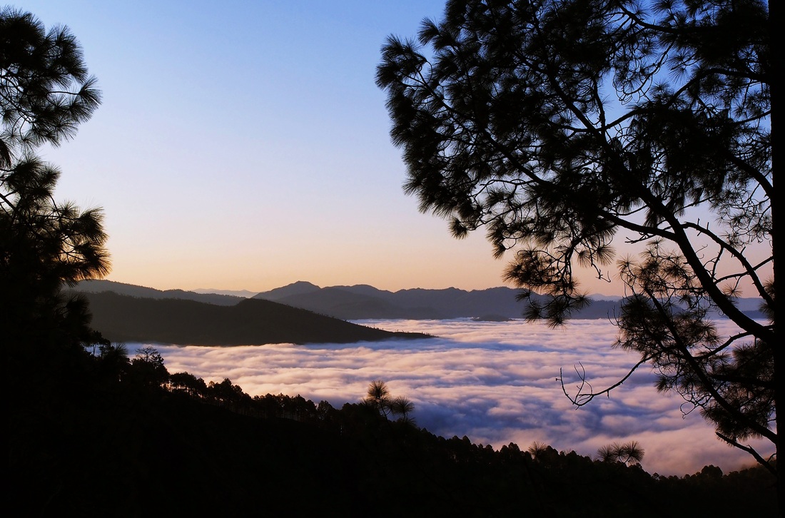
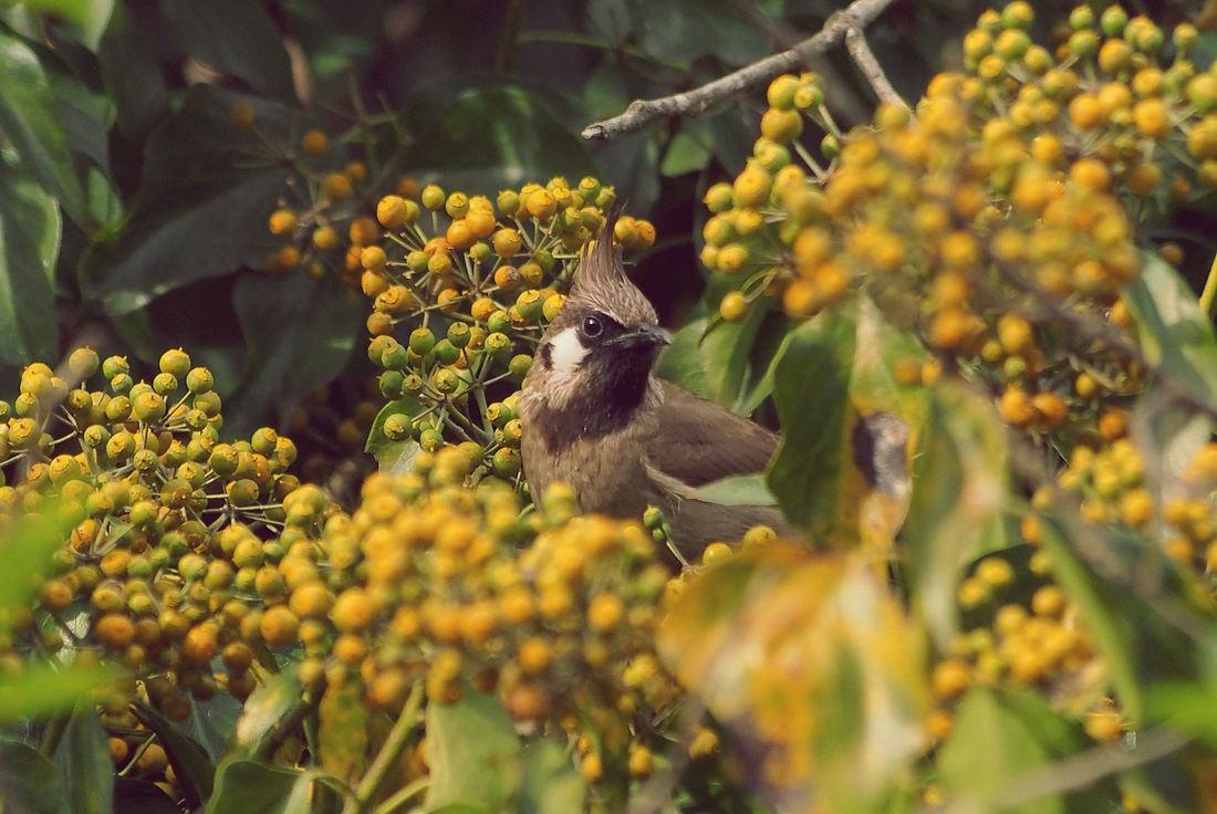
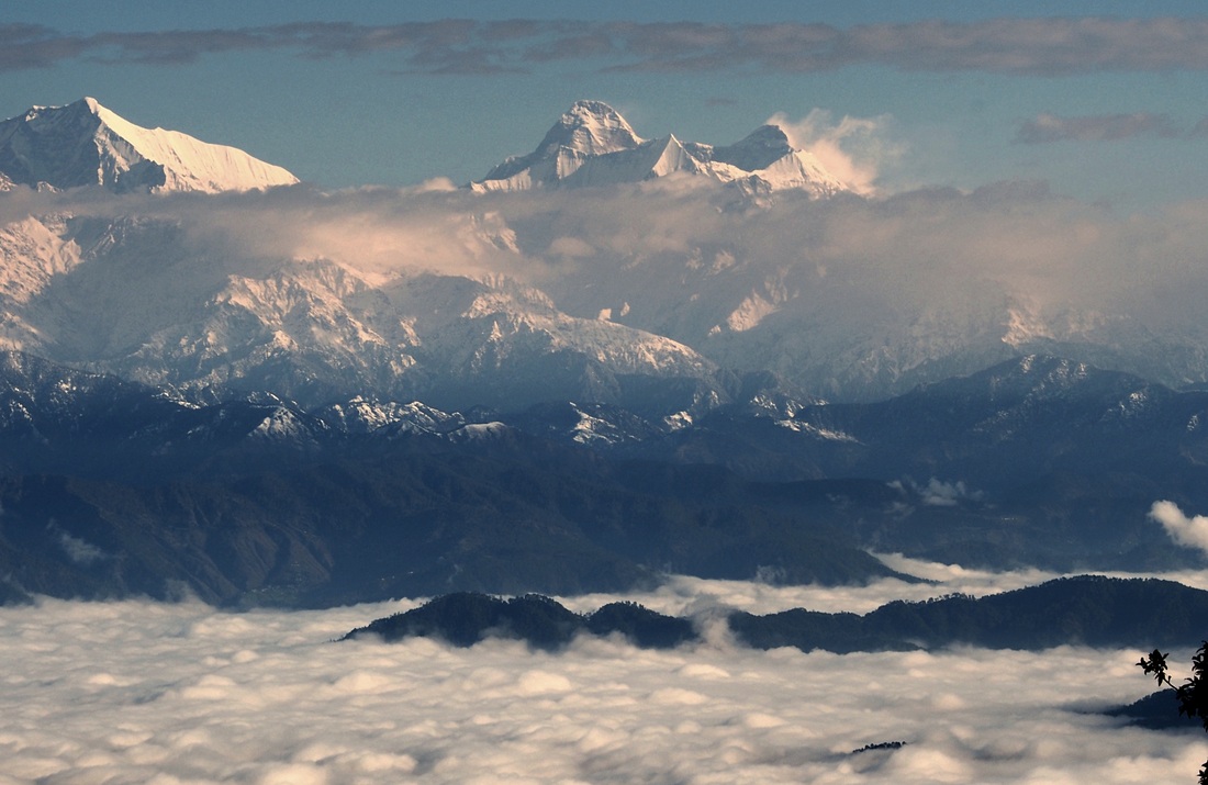
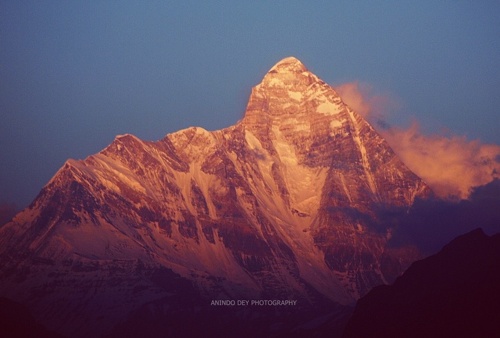
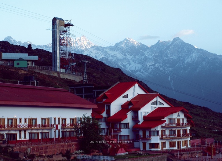
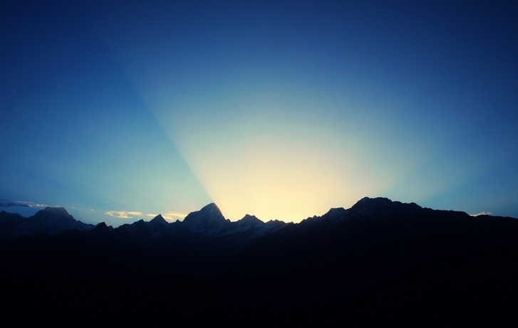
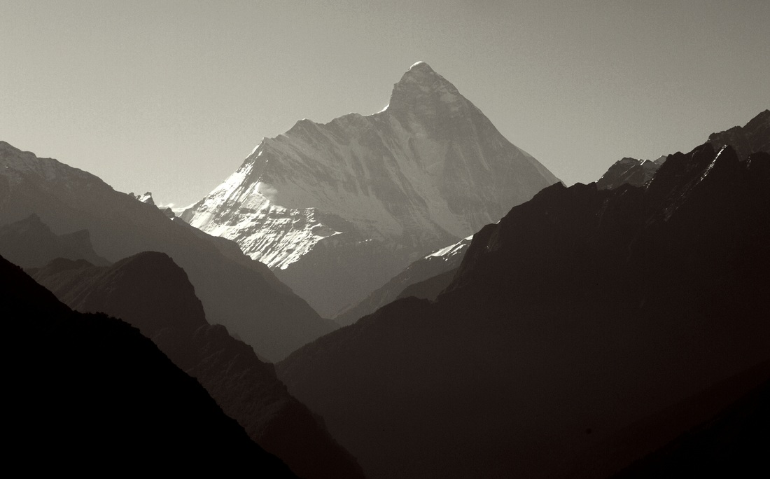
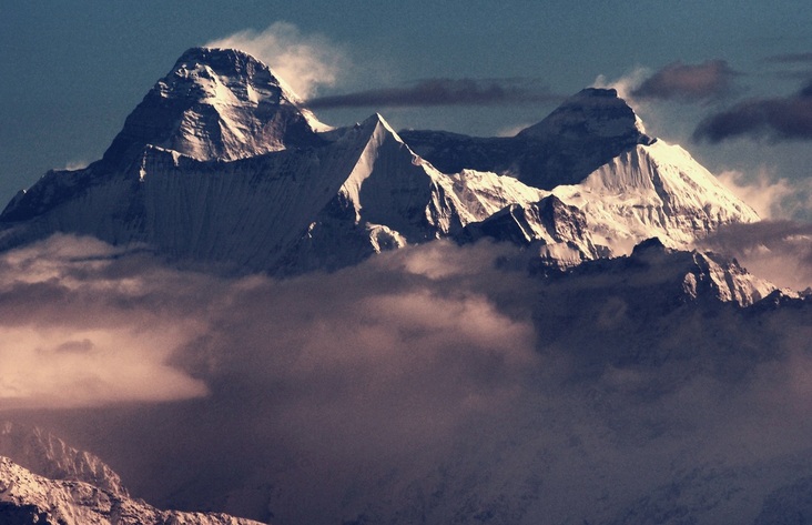
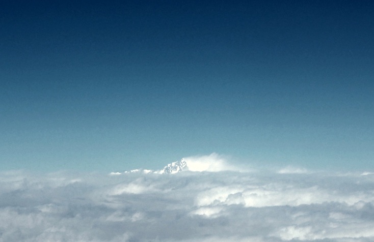
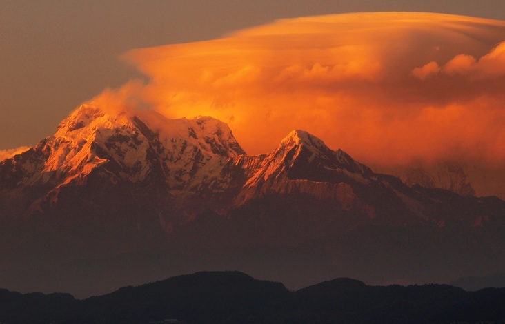
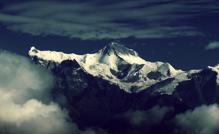
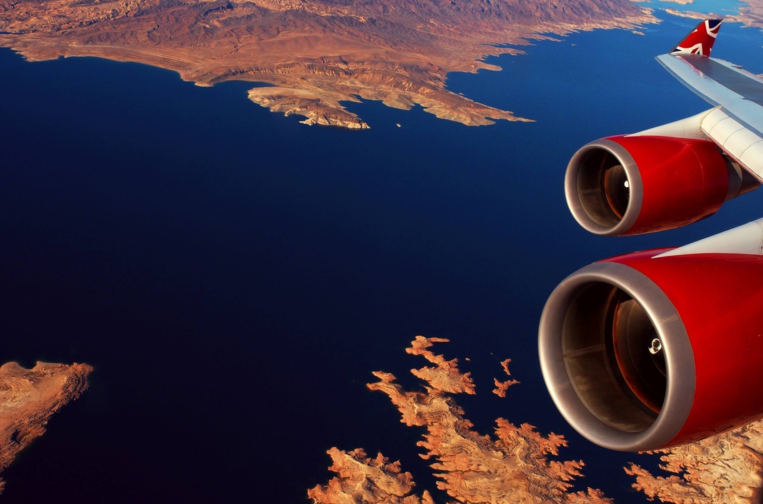
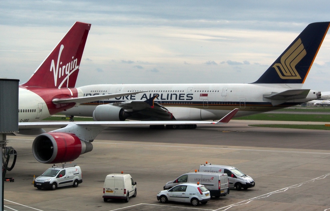
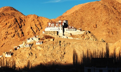
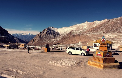
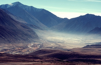
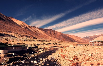
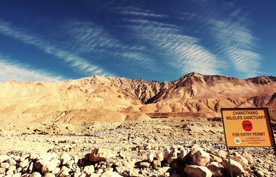
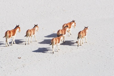
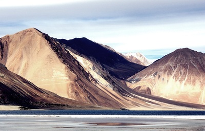
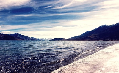
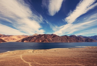
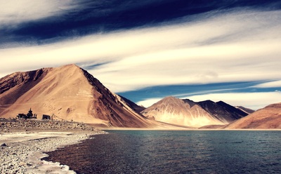
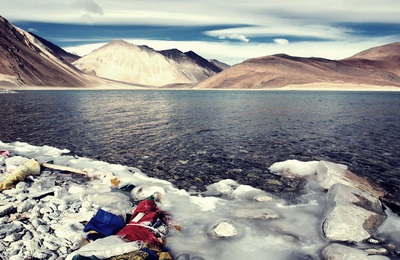
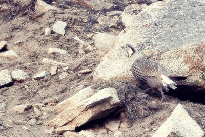
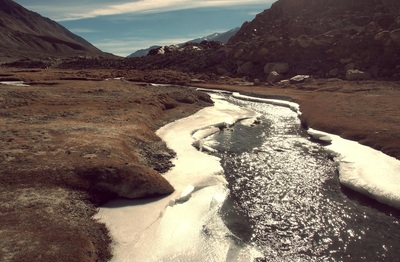
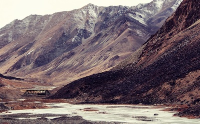
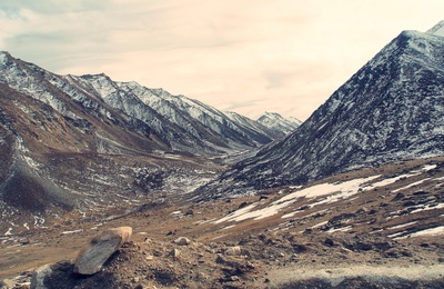
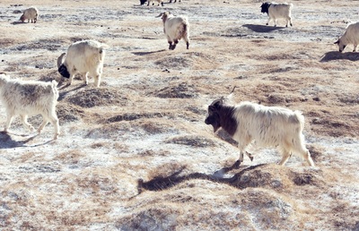
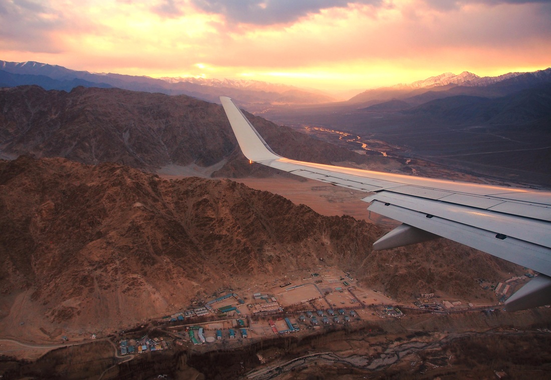
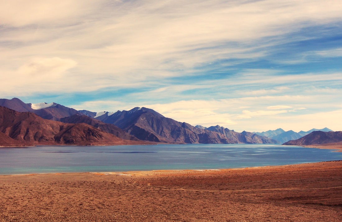
 RSS Feed
